
Interested in a Toronto to Montreal Bike Ride?
I often ride the route as a cyclist who lives steps from the shores of Lake Ontario in Toronto and the Great Lakes Waterfront Trail. At other times, I make a weekend of it, cycling sections more to the east, and over the years, I have completed most of the Waterfront Trail.
The Great Lakes Waterfront Trail (read my post on this section) starts in Northern Ontario and heads over to Manitoulin Island, the Bruce Peninsula, along the shores of Lake Huron and Erie before reaching Niagara Falls and the stretch to Toronto.
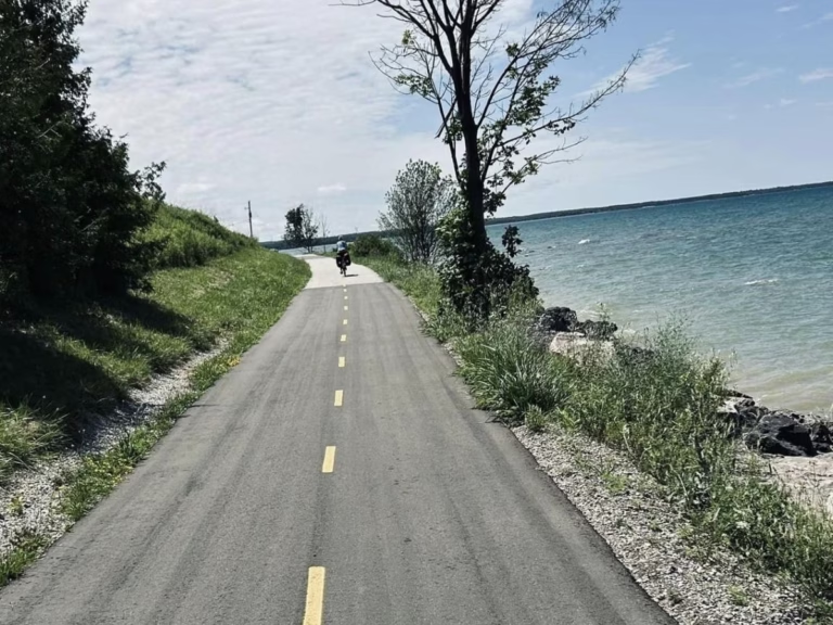
A Toronto to Montreal Bike Ride on the Waterfront Trail should take you 5 to 10 days to complete the 625 km distance, depending on how far you ride each day and any en route stops. Most people who bicycle tour the route take one week to reach downtown Montreal.
Use my helpful guide to get started quickly!
1. Toronto
Start this part of the route from the Jack Layton statue at the foot of Bay Street in downtown Toronto. There is easy access from Union Station and the GO Trains.
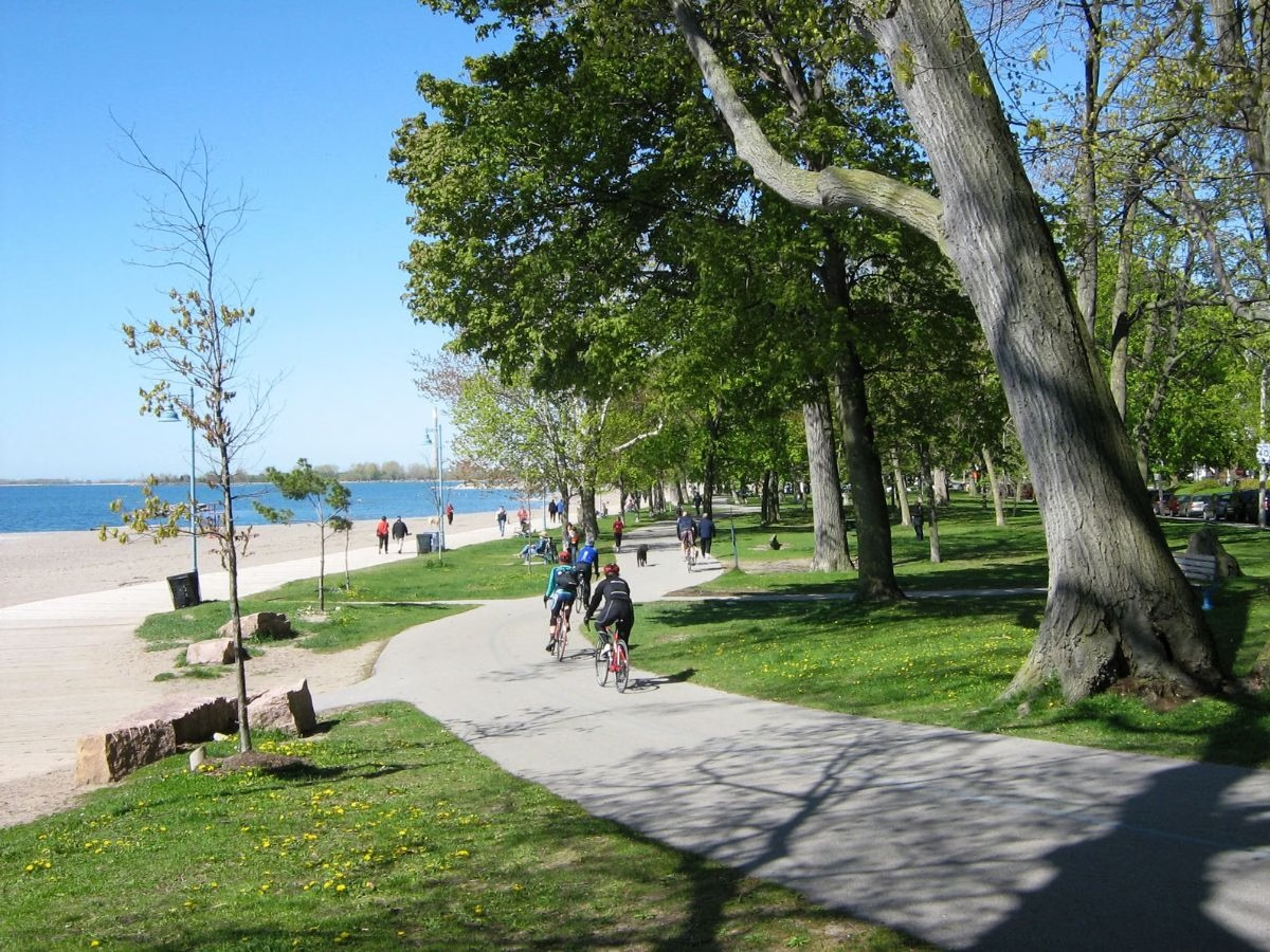
In Toronto, this section of the Great Lakes Waterfront Trail is also known as the Martin Goodman Trail. Head east on the paved bicycle trail and follow it through the very popular Port of Toronto (currently under redevelopment).
Insider Tip: Many riders take a side trip on the Leslie Street Spit (also known as Tommy Thompson Park). No cars are permitted, and you can cycle the peninsula jutting into Lake Ontario to the Lighthouse at the tip. I often see beavers, mink, rabbits, and thousands of birds.
Ride on the bike path along the Toronto beaches until reaching the end. Then it is a zig-zag route through residential streets with a short distance along busy Kingston Road.
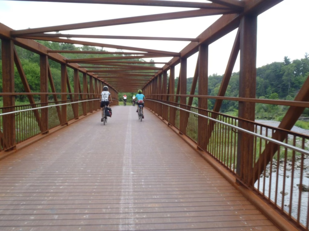
After about 20 km, you reach East Point Park, where the Waterfront Trail again becomes a paved cycle path following the shores of Lake Ontario. Continue until reaching Rouge National Park, which does have a beach and washrooms. Cross the pedestrian/cycle bridge over the Rouge River to Pickering.
What I love: there is so much variety in the Toronto section with all the boats in the Harbourfront area, newly developed Portlands, elegant residential areas, and lakeside bicycle paths. It can be busy on weekends with other riders and pedestrians sharing the path.
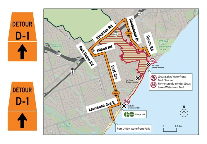
Parks Canada Construction at Rouge Beach with a detour in place until the spring of 2027.
2. Durham Region
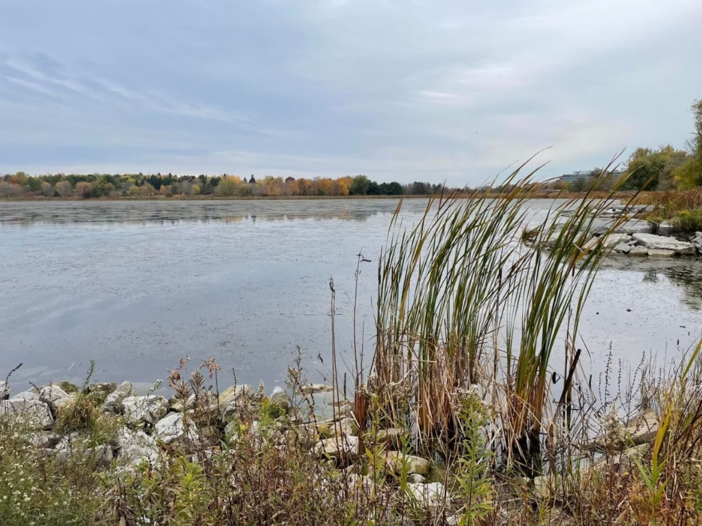
After crossing the Rouge River, you arrive at Petticoat Creek Conservation Area and continue, generally following the lake in Pickering, Ajax, and Whitby, along a combination of lakeside bike paths and residential side streets, while passing a few marshes.
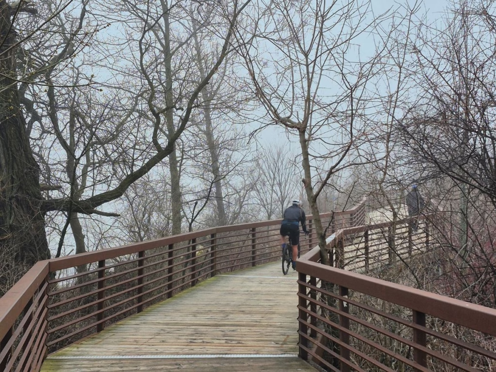
Insider Tip: On the first day, if you wish to avoid cycling in Greater Toronto, you can take the GO Train to Oshawa or Ajax. There is a side trail from the Ajax GO Transit Station to the Waterfront Trail at Duffins Creek.
In Oshawa, the route passes Second Marsh and the McLaughlin Bay Wildlife Reserve, which has great walking trails. The reserve is located next to Darlington Provincial Park, with the route crossing the north end and is an excellent camping spot for the night.
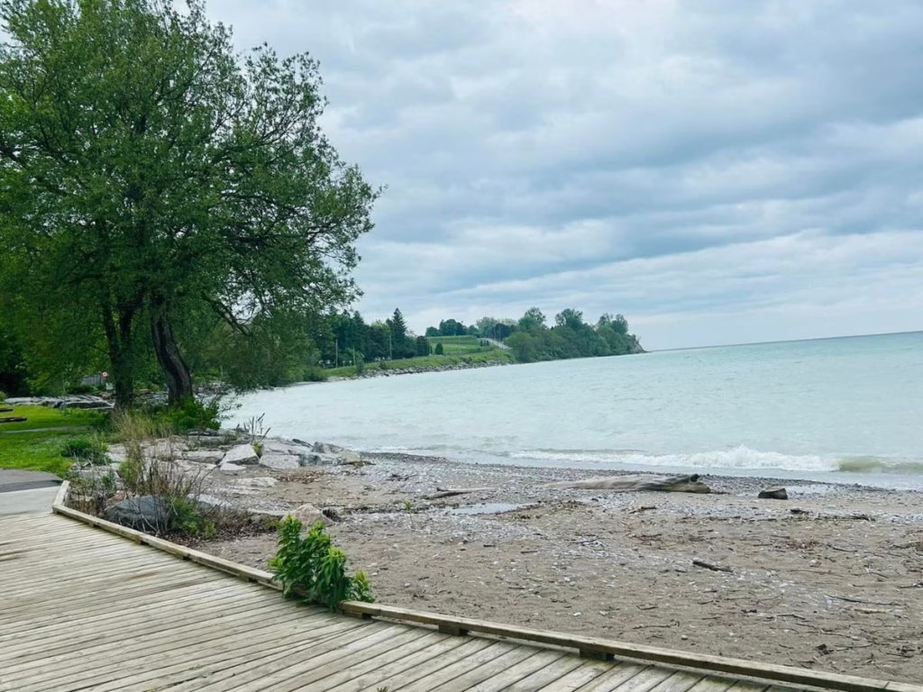
After Darlington, the route stays away from the lake, passing the Nuclear plant before heading back towards Lake Ontario as you near Newcastle and Bond Head.
3. Northumberland County
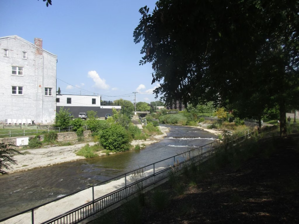
After Bond Head/Newcastle, you ride along rolling rural roads for 27 km and into the historic town of Port Hope, often used as a movie set. Port Hope also has the historic Capitol Theatre, Ganaraska River, Farley Mowat monument, and other attractions.
Continue along Highway 2 (paved shoulder) for 11 km to Cobourg. I stayed at the Victoria Campground, which is located right on the Waterfront Trail (it goes right through the campground), which is close to the beach and restaurants.
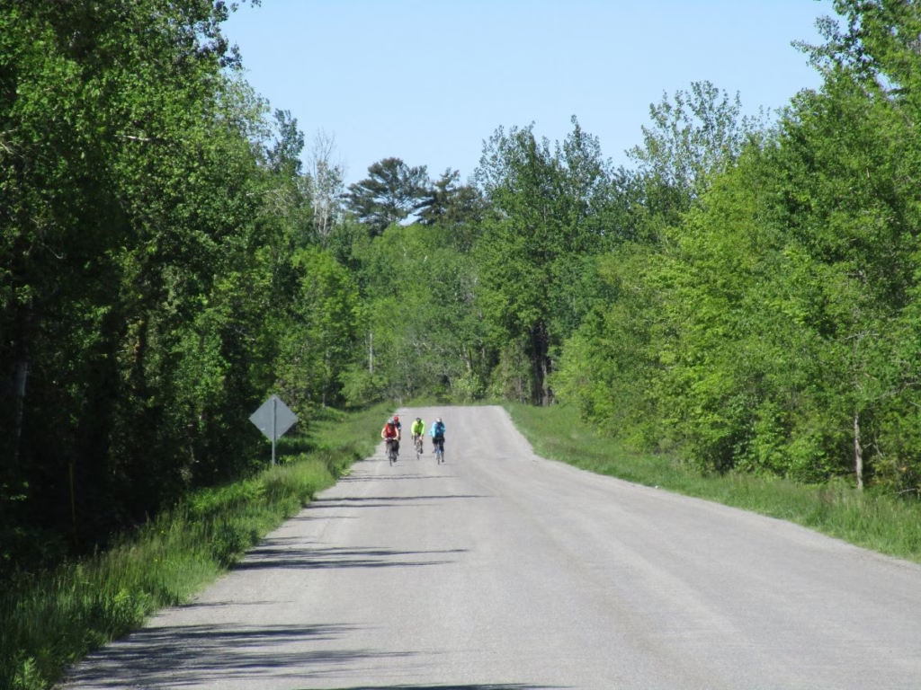
Next, ride along quiet rolling country roads to Lakeport before heading into Colborne and along Highway 2 again for a short section before dipping down to Brighton, where the Great Lakes Waterfront Trail passes the popular Presqu’ile Provincial Park.
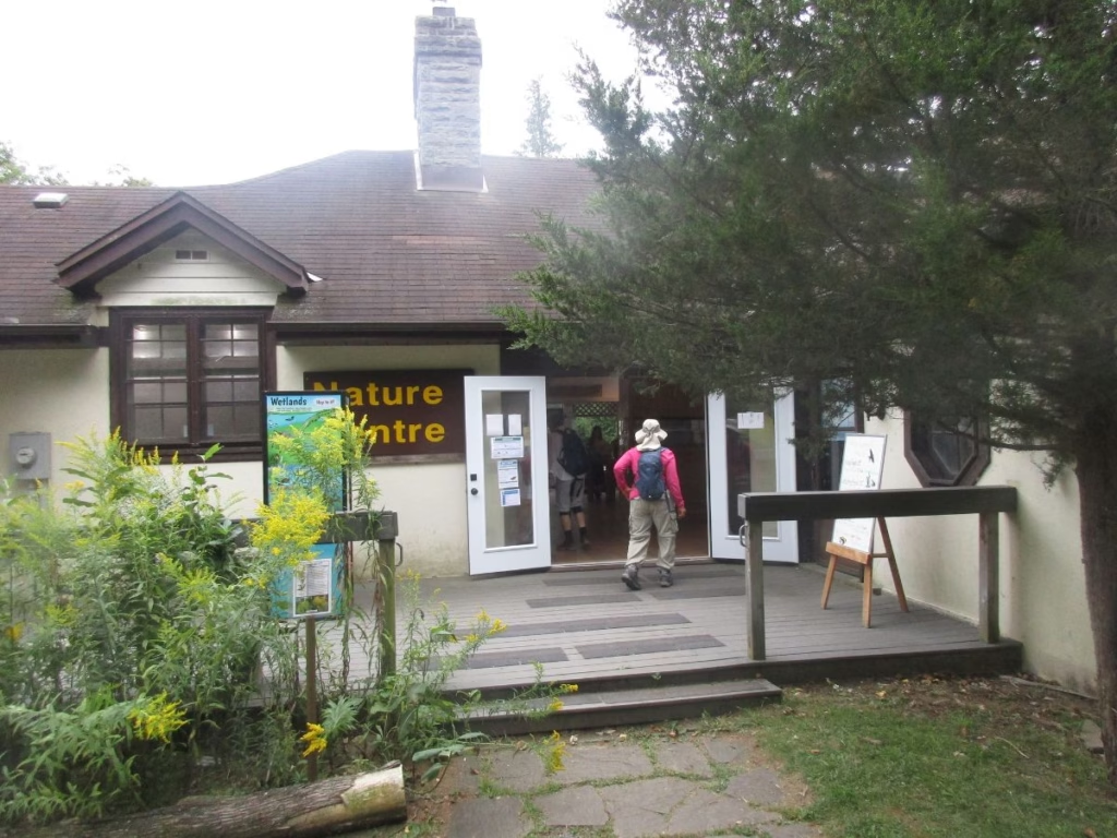
If you take a side trip to Presqu’ile, take the one-way ring road around the peninsula and be sure to stop at the lighthouse, Nature Centre, and one of the popular beaches. Note that if planning to camp, the park fills up quickly on summer weekends so make advance reservations.
4. Prince Edward County
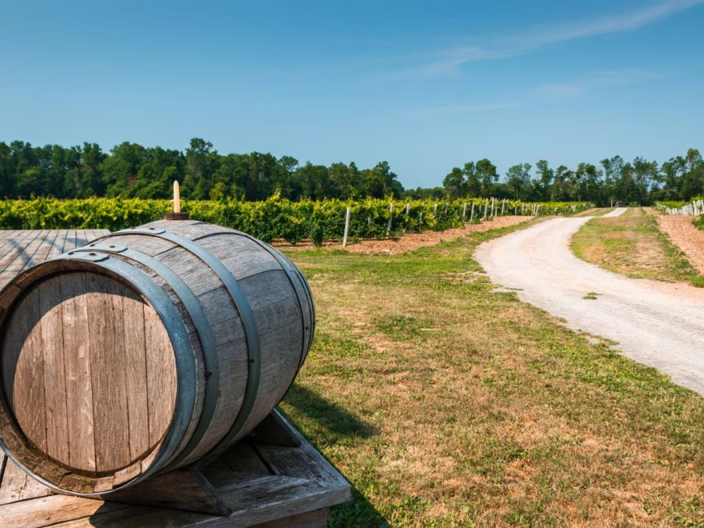
The main tourist route in Prince Edward County is known as the Loyalist Parkway, which runs for 97 km from Carrying Place to Amherstview. The Waterfront Trail essentially follows the same route, although sometimes on parallel bike paths.
While the Waterfront Trail follows the Loyalist Parkway for the first part, consider the Millennium Trail. This trail also starts in Carrying Place and follows an abandoned Canadian National Railways line for 46 km to Picton. Both routes go through Bloomfield, which is a good place to stop for coffee and the bike shop.
What I love: Prince Edward County has numerous cycling routes, wineries, Sandbanks Provincial Park (great beaches), and Lake on the Mountain Provincial Park is unique and where I picnic next to the lake’s top mountain with views of Lake Ontario and the Glenora ferry way below.
Take the Glenora ferry (free) and continue your ride along Bath Road (Highway 33) along the lakeshore until reaching Bath, and then Amherstview and Kingston about 15 km further to the east.
5. Kingston
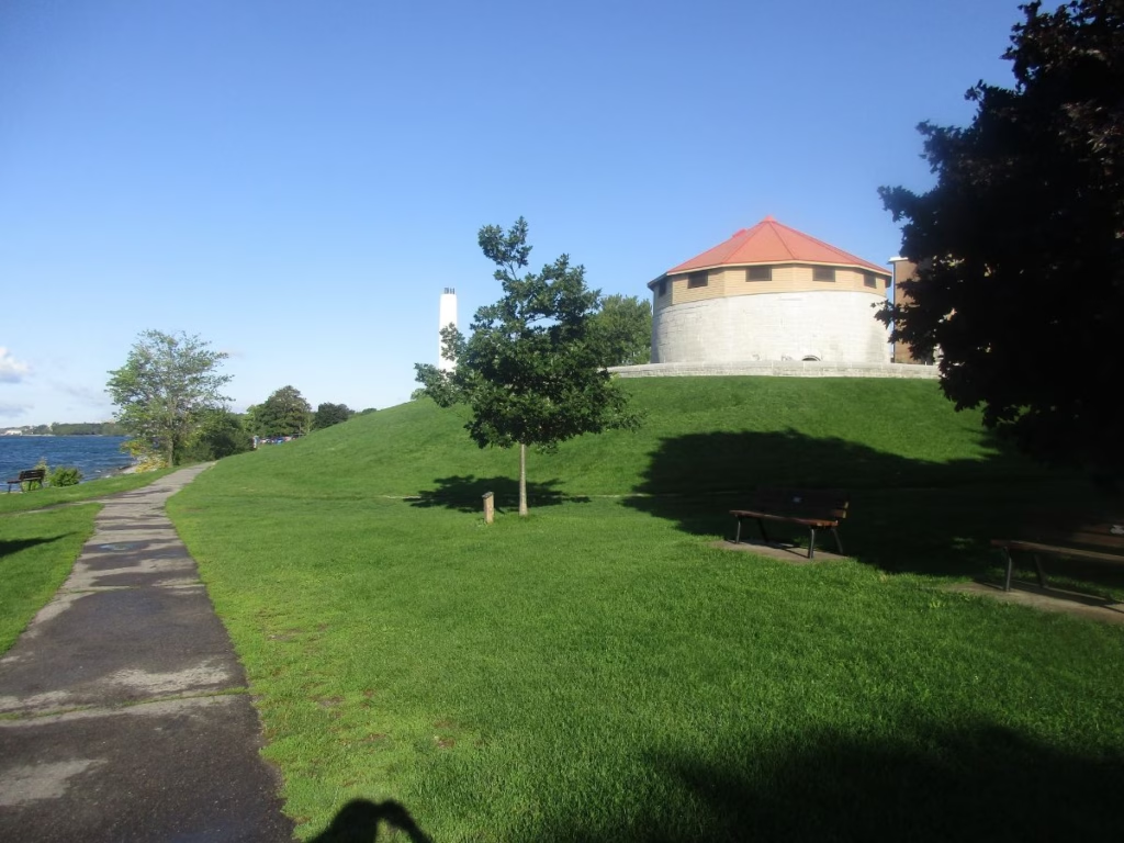
In Kingston, the Waterfront Trail generally follows the shoreline through parks, passing fortifications and Kingston Penitentiary (I took the one-hour tour), Queen’s University, downtown Kingston, before crossing the Great Cataraqui River (part of the Rideau Canal), and Fort Henry, where I stopped to visit.
Insider Tip: Take a side trip to Wolfe Island by ferry, which offers some interesting bike routes. The Wolfe Island Bakery is well known for its delicious butter tarts.
6. Thousand Islands
Continue east, and at Pitt’s Ferry, you have a choice to make. Head south and take the ferry to Howe’s Island, which costs cyclists $2. This is the second largest of the Thousand Islands, and you can cycle across the 13 km to the far end.
You then have a second ferry, which operates on demand and takes approximately 3 minutes per crossing. It is run by the Township of Frontenac Islands in conjunction with the Ministry of Transportation.
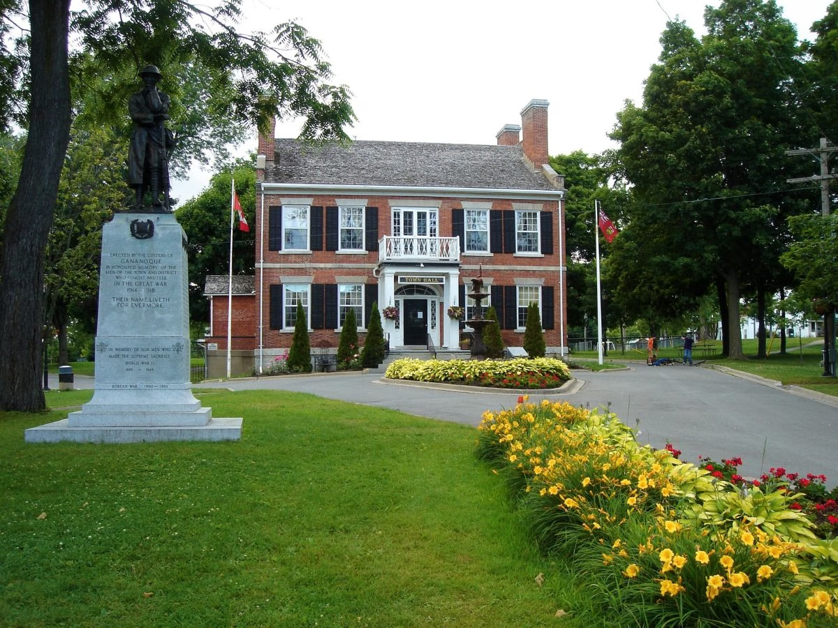
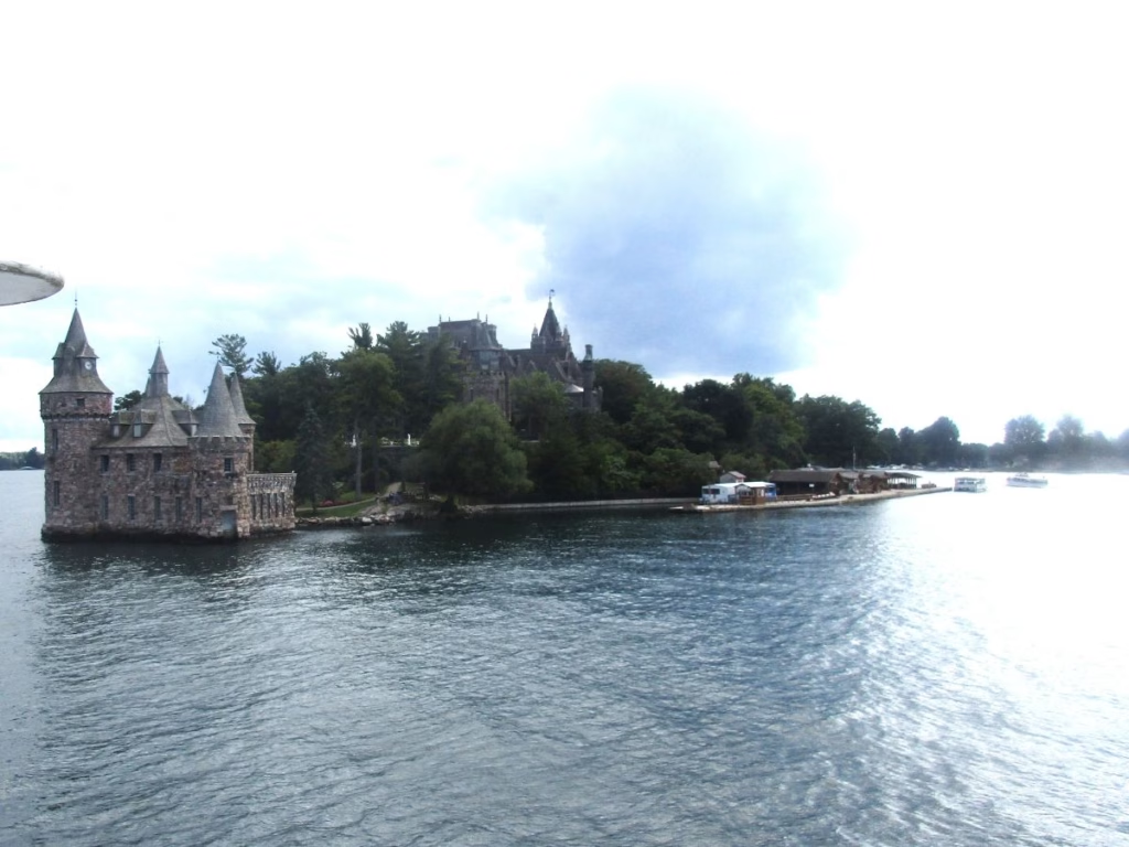
Your other option at Pitt’s Ferry is to head straight east to the tourist town of Gananoque, with lots of accommodation and restaurant choices. 1000 Island Cruises depart from here, and Ivy Lea, Rockport, and Brockville as well. I took the cruise from Ivy Lea, which passes Boldt Castle located in the U.S. (no passport as you do not stop).
Your Toronto to Montreal Bike Ride continues along the Waterfront Trail, which, for the next 37 km, is a recreational trail beside the 1000 Island Parkway. I saw scenic views at every turn of the St. Lawrence River and the 1000 Islands.
From June 19 to September 7, 2026, the Canada Strong Pass provides free or discounted admission to Canadian National Parks, historic Sites, camping sites, Museums, and VIA Rail.
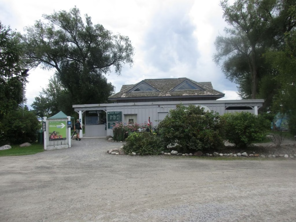
Thousand Island National Park is in several locations along the St. Lawrence River, including the 1000 Island Parkway. Most cyclists I saw (including me) were stopping at the information centre for a break and to visit the washrooms.

The route then continues to Brockville. The entrance to the Brockville Tunnel is right next to your route and features colourful lighting and music in an abandoned rail tunnel (free). Also, snack bars, washrooms, and picnic tables are located nearby.
7. Long Sault Parkway and to the Quebec Border
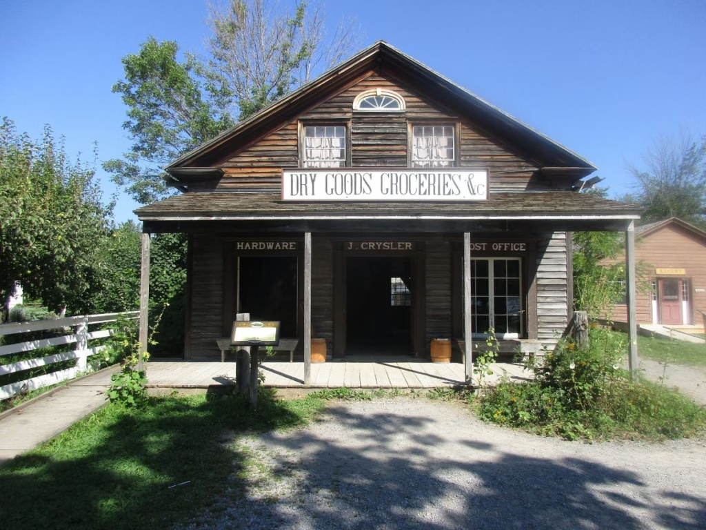
Continue east to Prescott and Morrisburg. Before arriving at Upper Canada Village, the cycling route goes right by the entrance. The village depicts life in rural English Canada during the year 1866 and includes carriage rides, boat rides, and historic buildings.
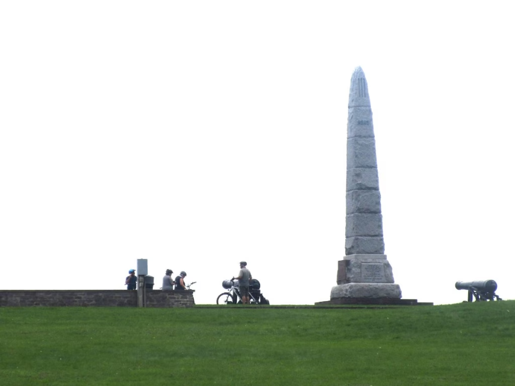
Right next door is Crysler Farm National Historic Site, which is a memorial about the battle that took place in 1813. For cyclists, be sure to ride up to the hilltop monument for excellent views of the St. Lawrence Seaway.
You are in for a treat as the route now travels along the Long Sault Parkway Scenic Road. Not a lot of traffic, which is good as there are no shoulders. However, there are 3 campgrounds operated by Parks of the St. Lawrence by the river if you wish to camp.
For the next 75 km, riders are along the St. Lawrence Recreation Path, which starts at Upper Canada Village and continues for 75 km to Lancaster. After Long Sault, the route is over rolling countryside and most of the section after Cornwall with views of the St. Lawrence River. While most is paved, there are gravel sections.
After Lancaster, it is a short ride to the Quebec border.
8. Quebec Border to Montreal
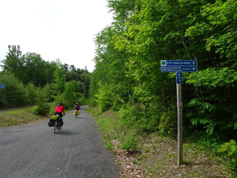
At the border, you will be connecting with the La Route Verte du Quebec trail network on Piste Cyclable Soulanges. Follow the route to Île-Perrot (an island) in the Ottawa River, continuing to the Island of Montreal with bike lanes on both bridges.
I stopped in Sainte-Anne-de-Bellevue for coffee before continuing along the bike route on Montreal West Island, which is a mix of residential streets and parks.
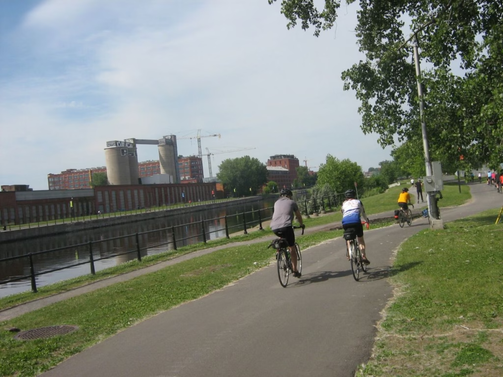
Connect with the Lachine Canal National Historic Site with a popular bike trail for 13.5 km to the Old Port in the city of Montreal. Several routes continue to Quebec City if interested.
Resources
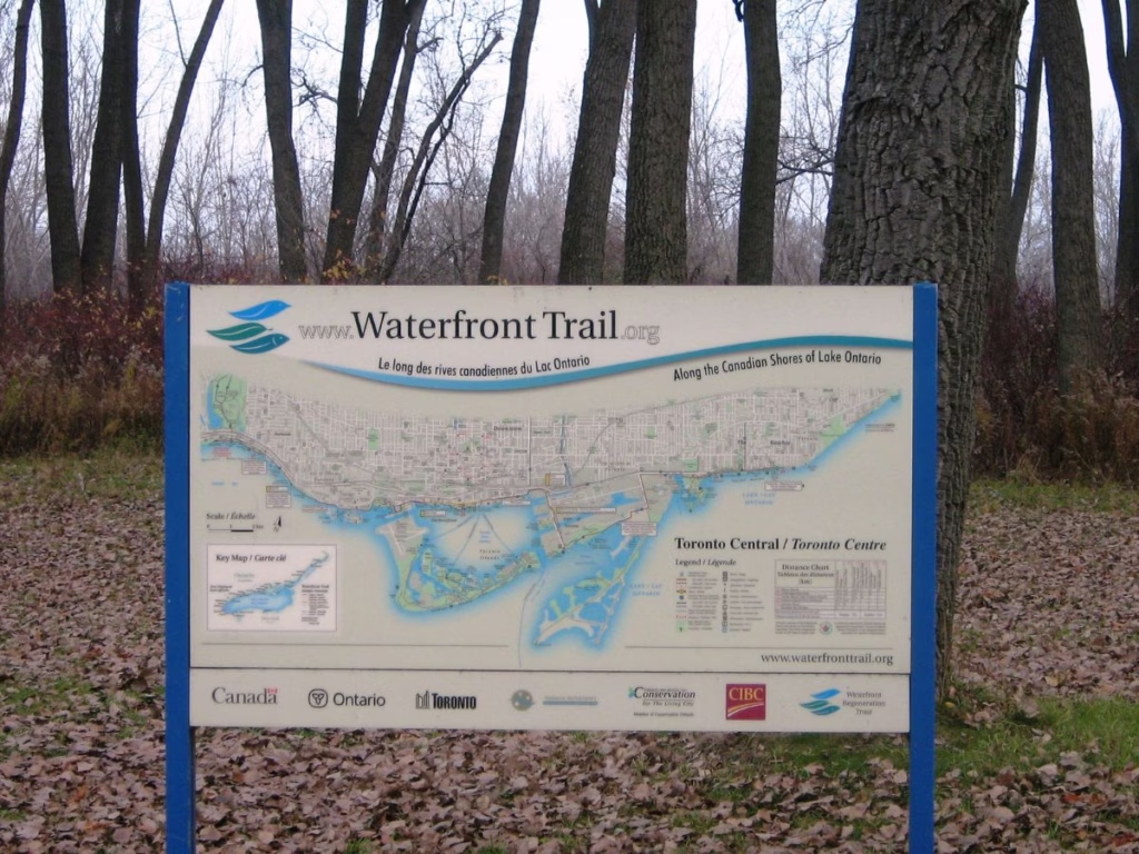
Great Lakes Waterfront Trail Website – official website with more information
Great Lakes Waterfront Trail Guide – available from Amazon it includes 84 maps
St. Lawrence Parks Commission – information on Upper Canada Village, Fort Henry, & campgrounds
Ontario Parks Reservations – if camping at Darlington or Presqu’ile.
Toronto Cycling Map – includes the waterfront trail
La Route Verte du Quebec – cycling network across the province of Quebec
booking.com – can assist with arranging accommodation along the route
Travel Insurance – for visitors from outside Canada with Safety Wing
Note that Via Rail and Megabus do not currently carry bicycles between Toronto and Montreal. Some people have used Canpar, TopMove, and UPS.
Final Thoughts: Toronto to Montreal Bike Ride
Taking a Toronto to Montreal Bike Ride on the Waterfront Trail is a great way to see many Canadian historical attractions and superb scenery while on a signed route.