
Looking to ride the Great Lakes Waterfront Trail?
As I live in Toronto with my home right along the Waterfront Trail, it is a route on which I cycle sections frequently. The entire Great Lakes Waterfront Trail is an amazing 3,600 km in length.
This post is about cycling the Great Lakes Waterfront Trail, along the Great Lakes, is about bicycle touring from Northern Ontario to Toronto, with some information about the Toronto to Montreal section. For full details about the Toronto to Montreal Bike Ride, read my guide.
Riding through Northern Ontario, along the Canadian shores of Lake Huron, Lake Erie, Lake Ontario, and along the St. Lawrence River takes you through the most scenic, historic, and most populated parts of Ontario.
Use my helpful guide of the highlights to go cycling on the Great Lakes Waterfront Trail.
1. Lake Superior
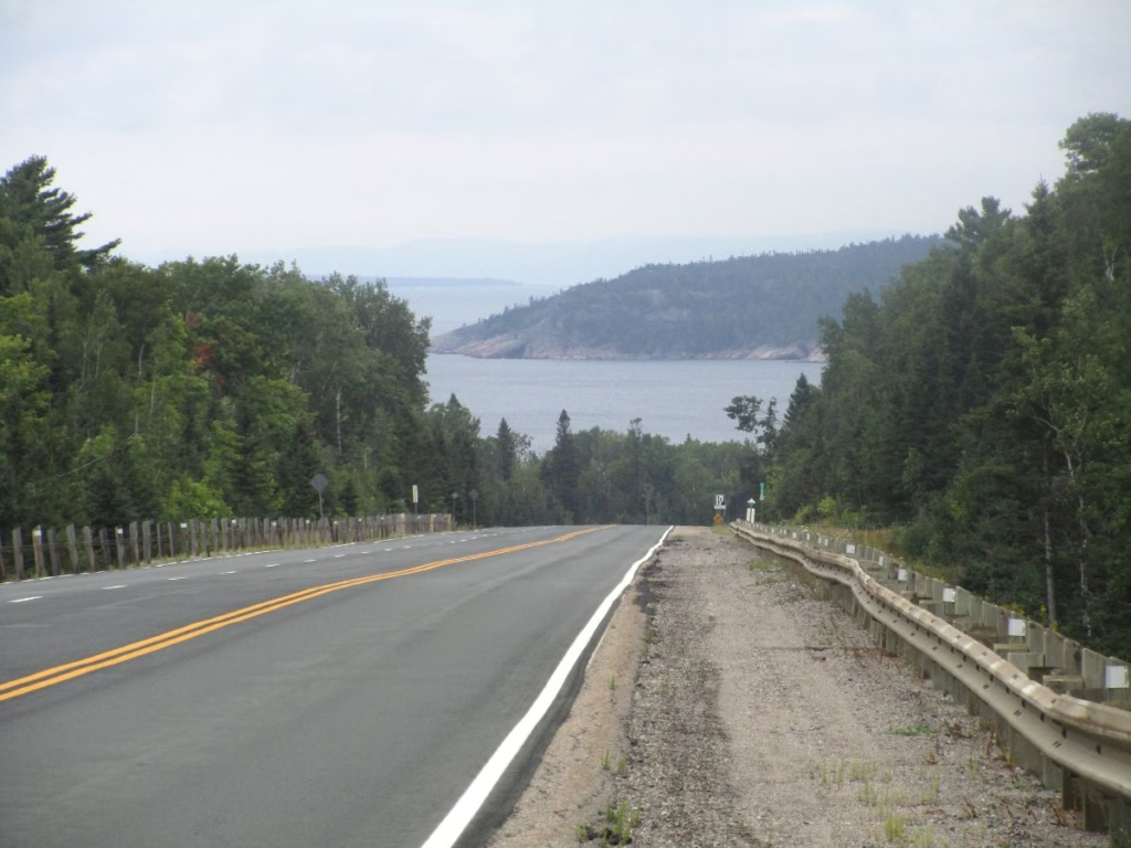
The Great Canadian Waterfront starts at the Minnesota-Ontario border and continues through Thunder Bay, past Pukaskwa National Park, Wawa with the great Canada Goose statue, very scenic Lake Superior Provincial Park, Chippewa Falls, and on to Sault Ste. Marie.
The route follows busy Highway 17 and is unfinished at this time. During my drive, I met with a cyclist from Quebec who was on a cross-Canada ride. Those crossing the country by bicycle all seemed to be the only people riding this section.
2. Lake Huron North Channel
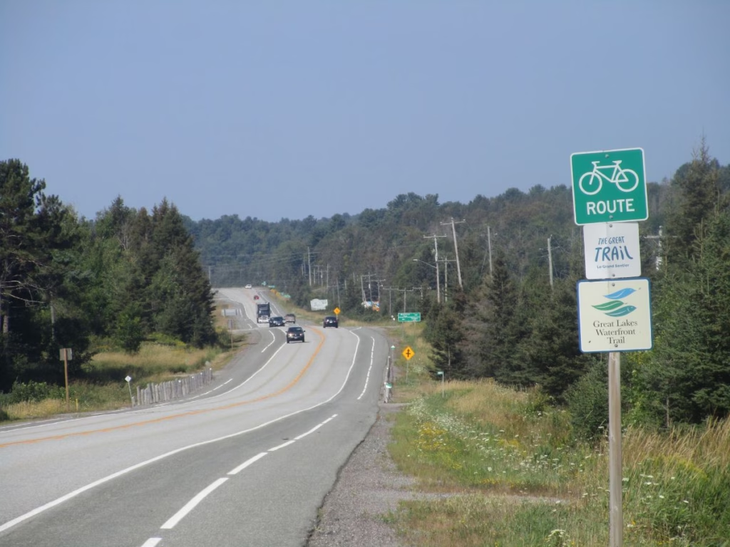
This part of the route goes from Sault Ste. Marie to Espanola through an area known as the North Channel.
In Sault Ste. Marie, if you have time, it is worth visiting the Bush Plane Museum, where you can inspect many planes, ride a simulator (I loved this), and see exhibits about fighting forest fires.
The Sault Ste. Marie Canal National Historic Site has exhibits, viewing of the locks, and there are boat rides. Also popular is the Agawa Canyon Train Excursion.
Departing Sault Ste. Marie, the route goes in a north-eastern direction on quiet rural roads before returning to Highway 17. About half of this route is along Highway 17 on paved shoulders, with only a short part by the Hwy 108 exit to Elliott Lake in bad shape.
The rest of the route is on local roads, with the final 28 km from Massey to Espanola on the Lee Valley Road. Along the way, you will pass through towns including Iron Bridge, Blind River (this 30 km stretch follows the river), Spanish River, and Massey (Chutes Provincial Park with a nice waterfall).
3. Manitoulin Island
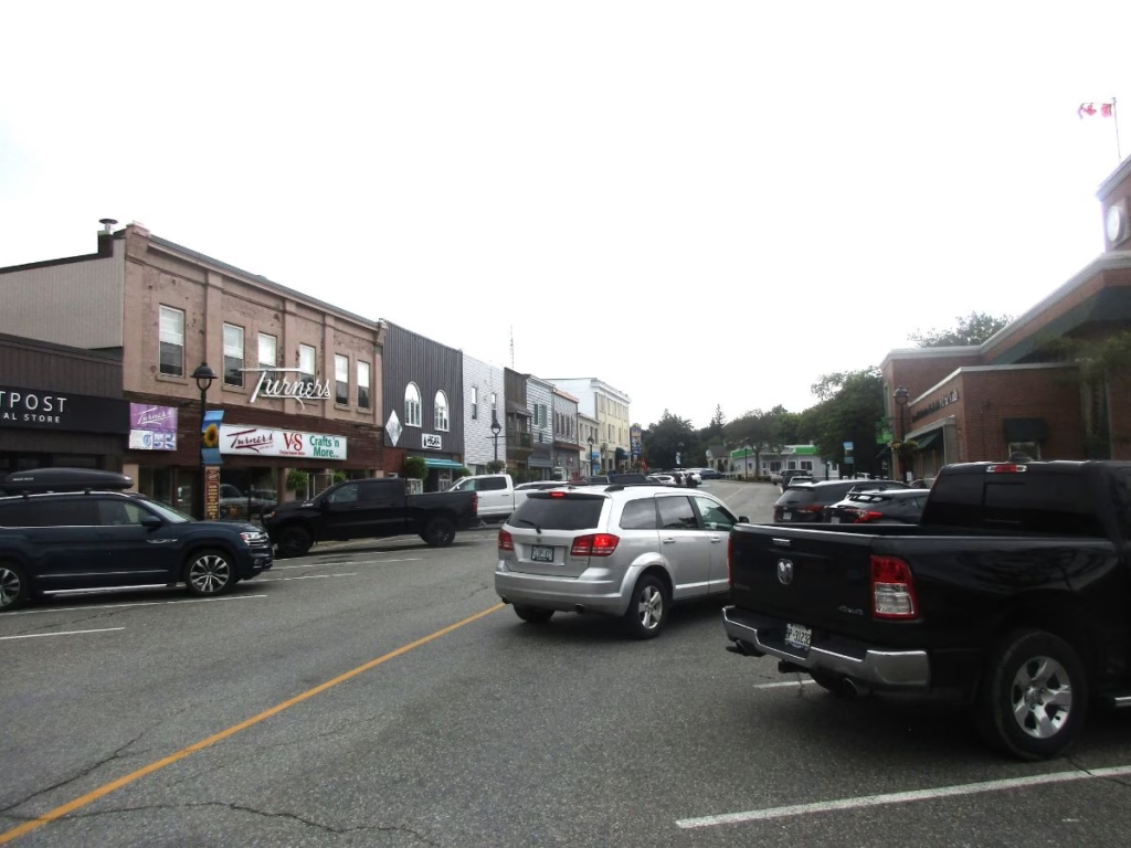
Head south for 54 km on Highway 6 from Espanola to Little Current. Espanola has plenty of stores and restaurants with a bicycle path up the hill leading out of town. The very scenic route is hilly, mostly on wide paved shoulders with great views of the North Channel.
You may have to wait at the swing bridge to Manitoulin Island (I did), and once you arrive, the tourist office is immediately to your right. Most cyclists also take the next right turn into Little Current with stores, restaurants, and accommodation.
Manitoulin Island is the world’s largest freshwater island and a cycling paradise, with many visiting here to explore the many routes (map available from the tourist office).
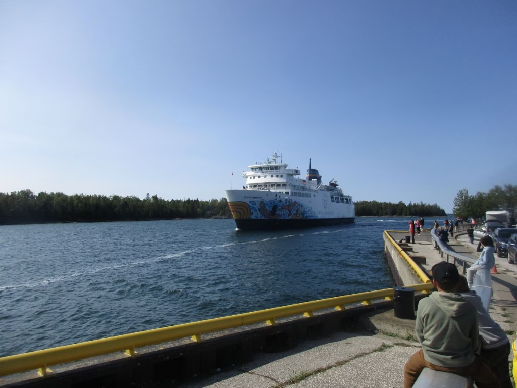
However, the Great Lakes Waterfront Trail continues on the paved shoulders of Highway 6 straight across the island, where you can take the MS Chi-Cheemaun ferry on the two-hour crossing of Georgian Bay. At the cafe at South Baymouth, while waiting for the ferry, I met many other cyclists from around the world.
4. Bruce Peninsula
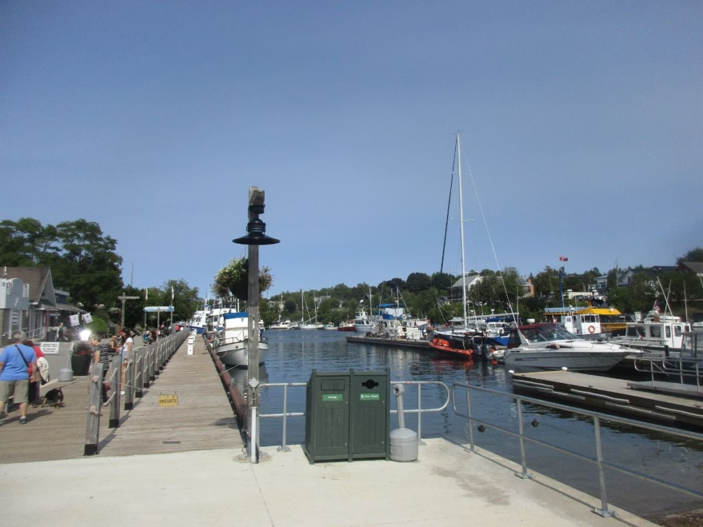
The ferry will deposit you in Tobermory, where, if you wish, you can take a boat ride to Flower Pot Island. Nearby Bruce Peninsula National Park features a Visitor Centre, viewing tower, hiking trails to Georgian Bay, the popular Grotto, and camping.
Continue riding south on the paved shoulders of Highway 6 down the Bruce Peninsula with Georgian Bay on your left and Lake Huron on the right. Eventually, you do a left turn and follow local roads as you zig-zag through the countryside.
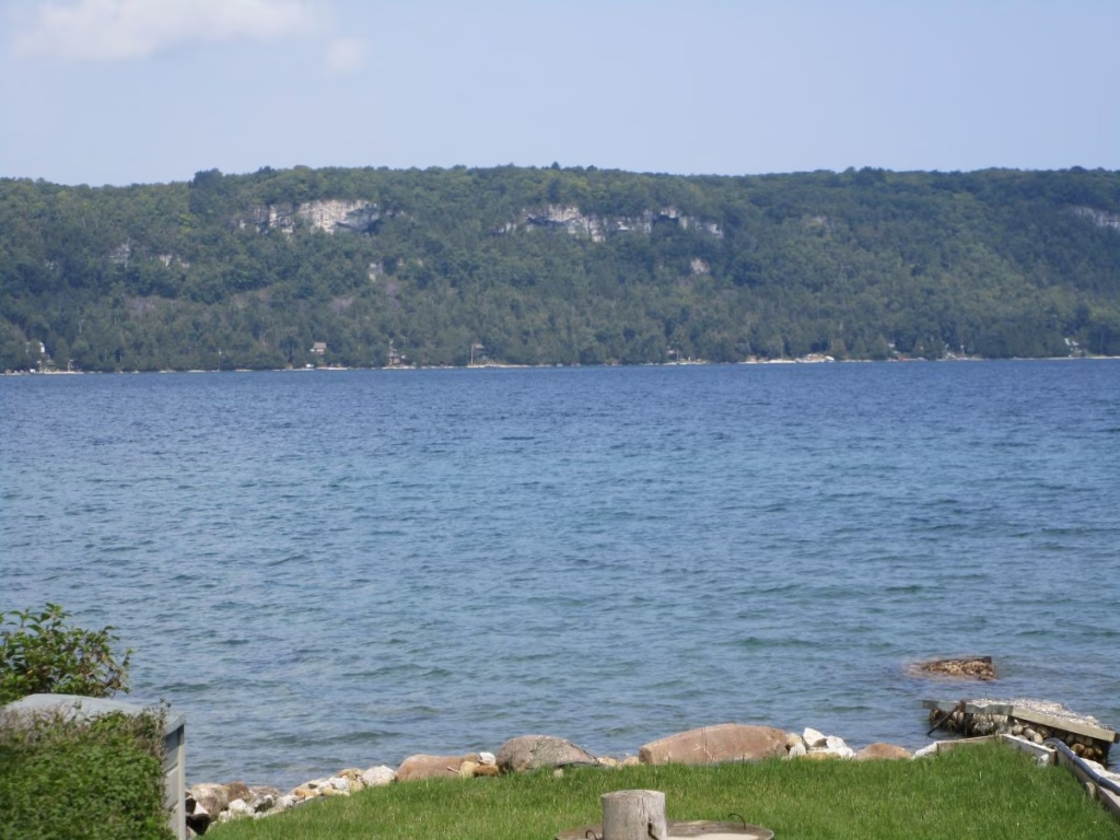
Note that in this section, the signs often just say “bike route” and not “Great Lakes Waterfront Trail”. Pass Lion’s Head, which is known for its dramatic coastal trails.
Down a hill and into Wiarton with stores, restaurants, and accommodation. It is also the home of Wiarton Willie, a famous groundhog, who every February 2 predicts when spring will come. Yes, you can view the statue in the park along the shores of Georgian Bay.
5. Lake Huron

Head west to Sauble Beach Provincial Park and adjoining waterfalls, a popular summer vacation spot. The beach is now known as Saureen Beach.
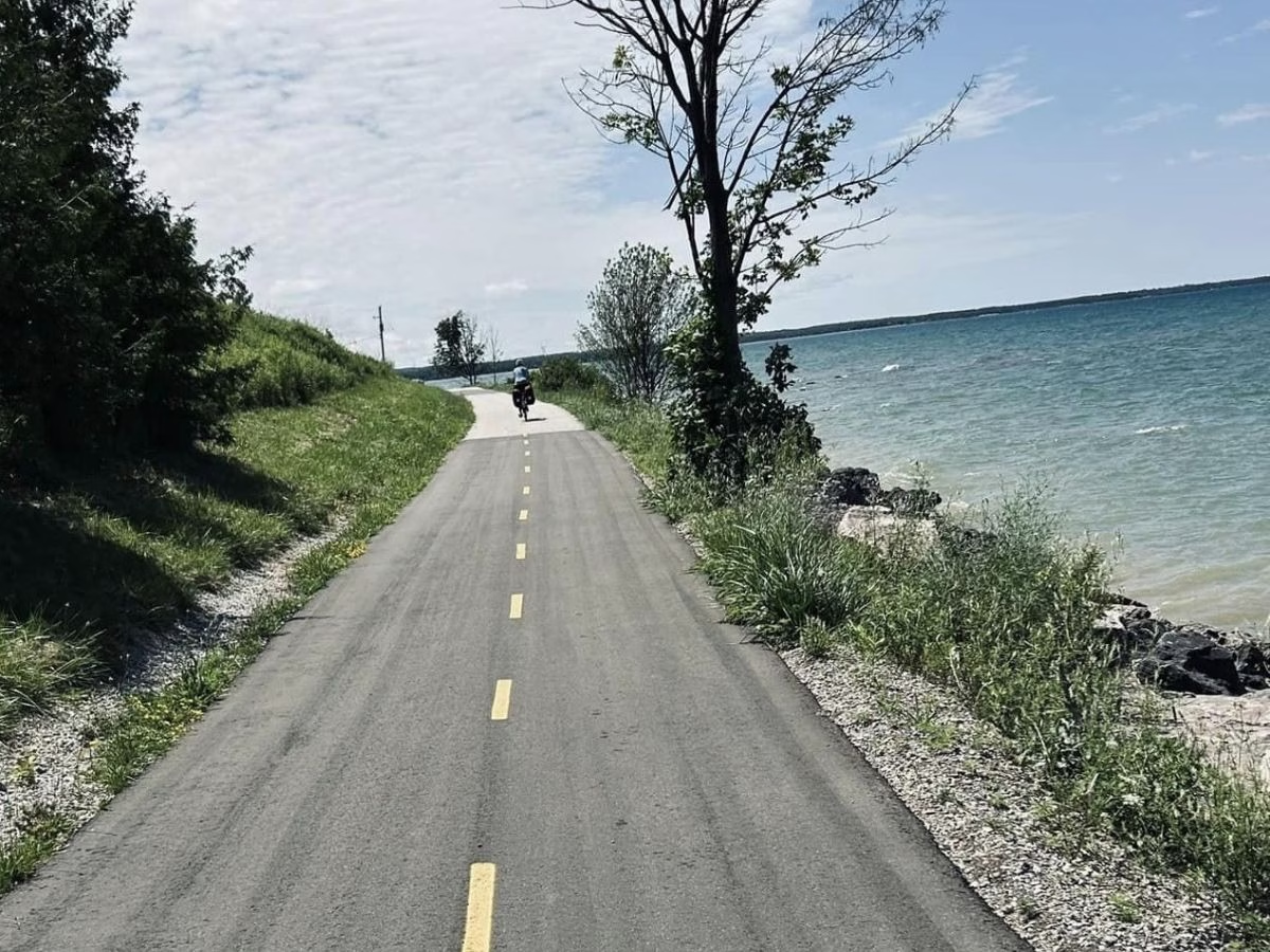
It will take you a few days to cover the distance from Sauble Beach to Sarnia, with the route mainly following roads parallel to Highway 21. However, along a section from Southampton to Port Elgin, you will be riding a bike path right along Lake Huron.
Expect to see lighthouses in Southampton and Point Clarke. Kincardine is the largest town in this area. If camping, you can stay at McGregor Point, but I continued to Point Farms Provincial Park near Goderich.
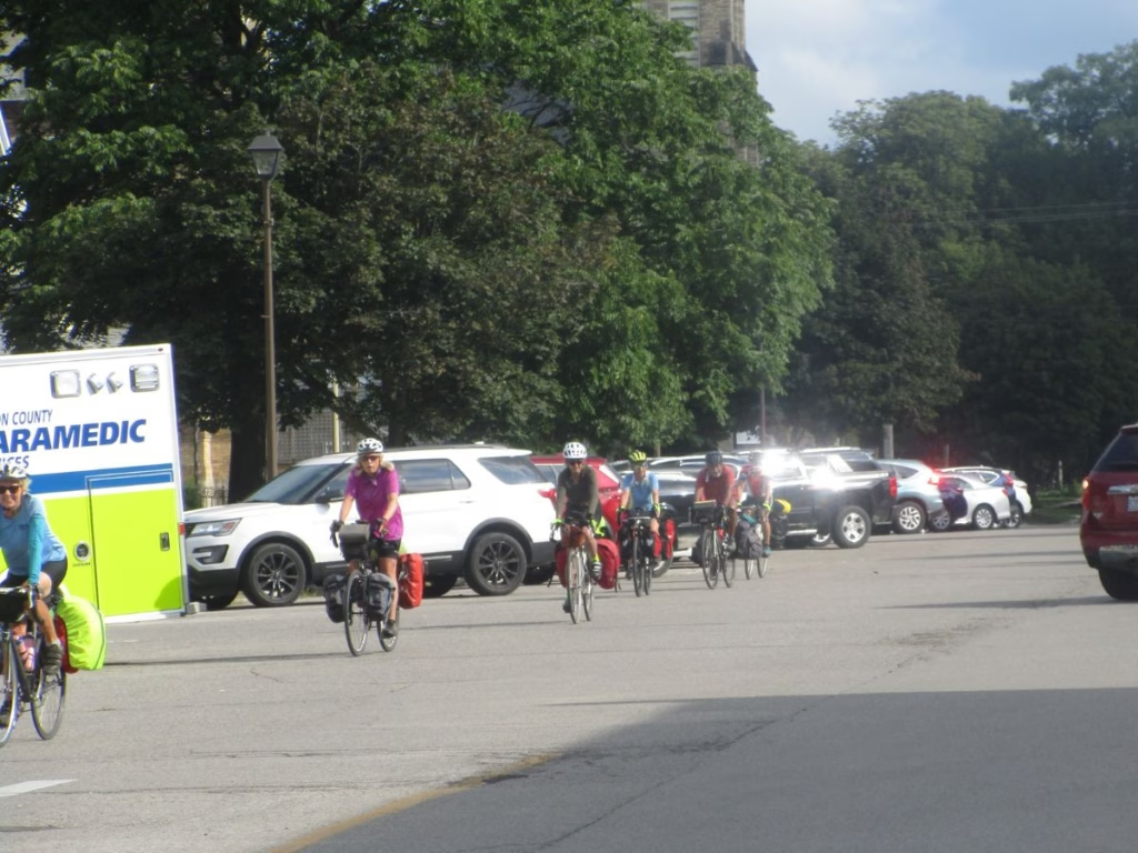
Goderich claims to be the prettiest town in Ontario. It is best known for Courthouse Square in the town centre, with the park surrounded by shops and restaurants. There is a nearby lookout of Lake Huron, or you can ride down the hill to the beaches.
For an added treat, try one of the cream puffs at Culbert’s on West Street.
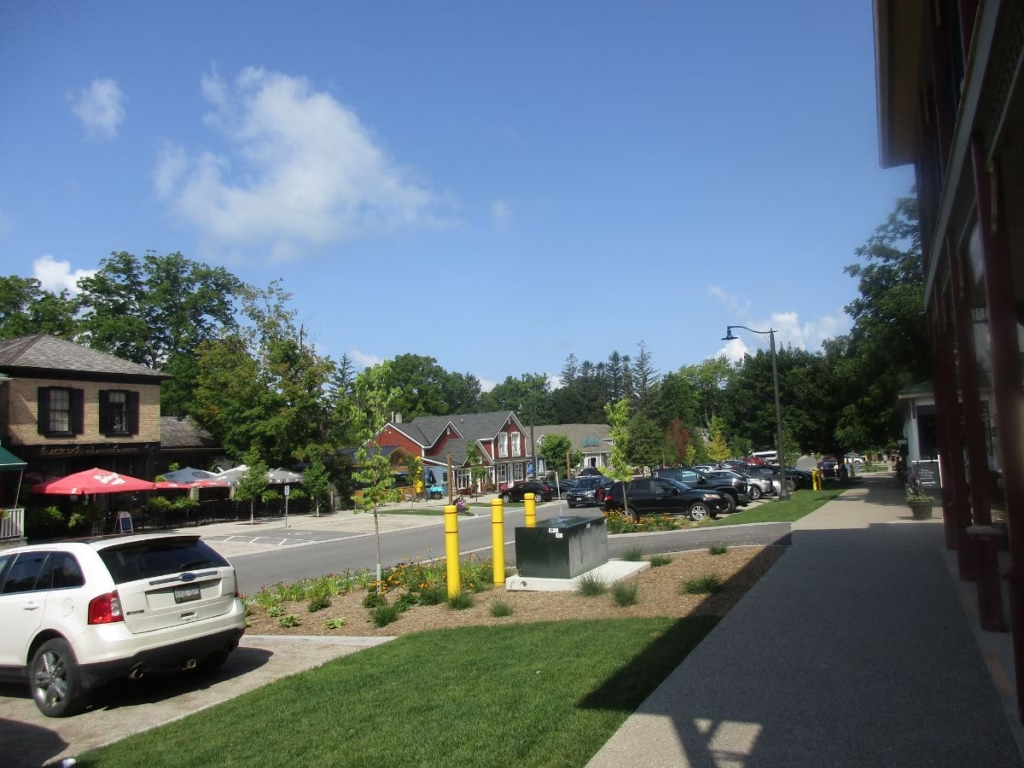
Be sure to make a stop in quaint Bayfield with shops lining the quiet main street, including several ice cream shops. There is a lakeside boardwalk and several hotels as well.
The route continues to the busy resort town of Grand Bend, where you can overnight. If camping, follow the bike path along Highway 21 to Pinery Provincial Park. This park gets very busy, so make reservations early. Besides the famous beaches, there is a cycling loop route touring the park.
Then on to Sarnia, the St. Clair River, and Lake St. Clair into Windsor on the cycling path.
6. Lake Erie
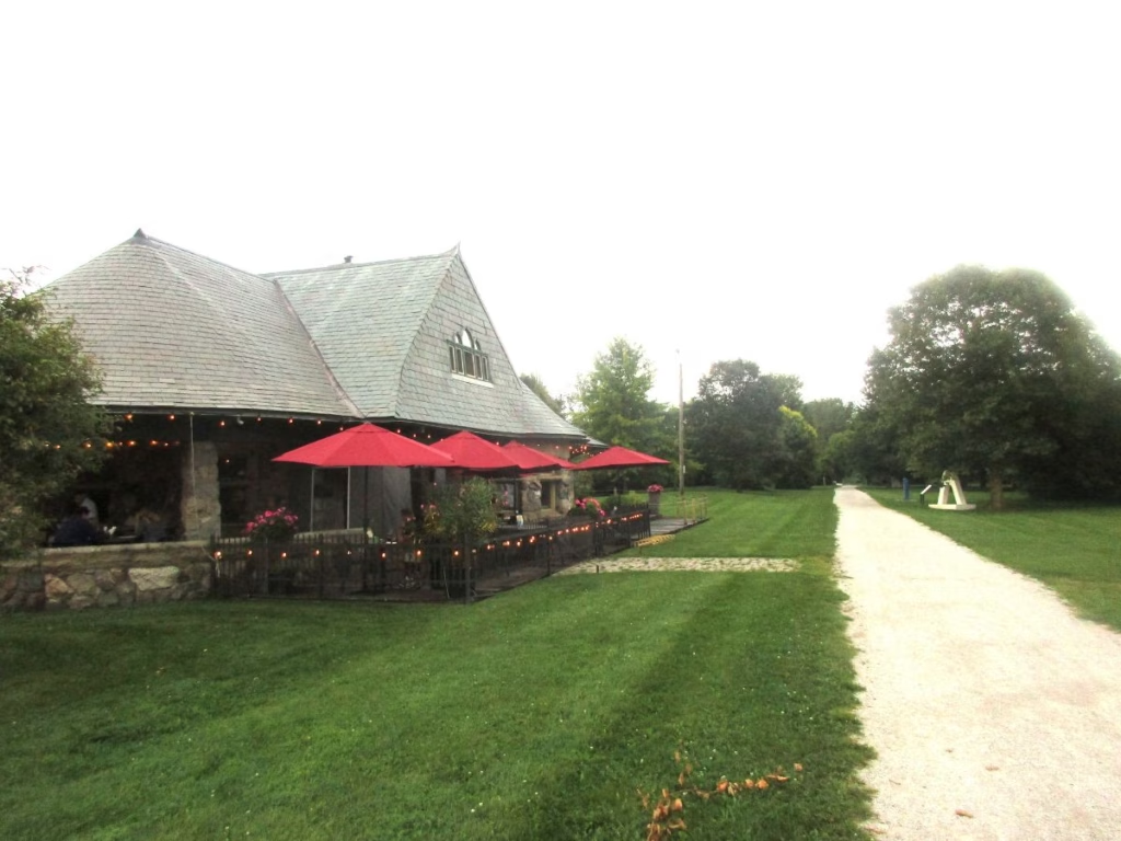
It will take you several days to cover the Lake Erie section. The first stop could be Fort Malden National Historic Site, located in Amherstburg, dating from the War of 18 and offering an extensive program.
While the Great Lakes Waterfront Trail follows the shores of Lake Erie, an alternate route is the 50-km Chrysler Greenway Trail, which goes to the Leamington area. Also in the Leamington area is Point Pelee National Park, where you can ride to the most southern tip of mainland Canada.
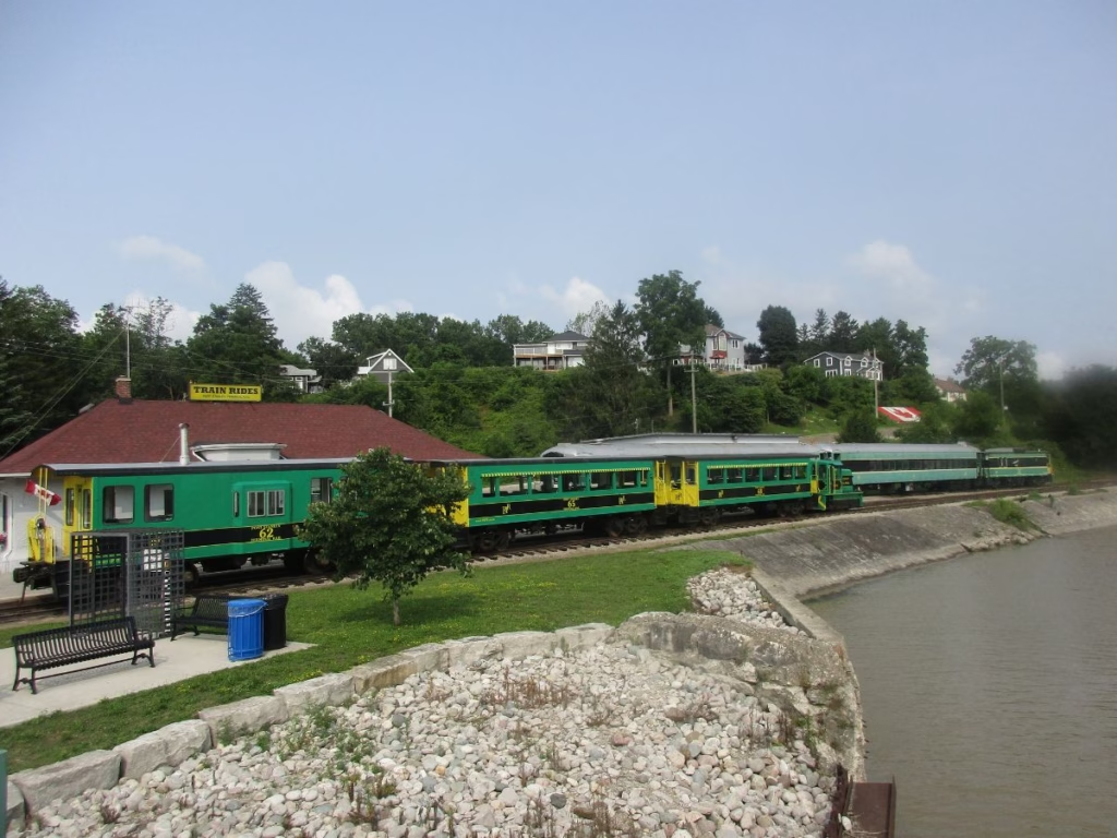
I continued riding along Lake Erie, stopping in Port Stanley, known for its beaches. However, I took a ride on the Port Stanley Terminal Railway (a tourist train), which travels several times a week.
I stayed at Port Burwell Provincial Park, which is right along your route. The nearby town has a few restaurants, a lighthouse, and, surprisingly, a submarine (The HMCS Ojibwa) with tours available on weekends.
Optional detour: You may want to visit Long Point Provincial Park, which has a campsite and an excellent beach.
The Waterfront Trail generally follows close to Lake Erie, but what surprised me was the number of wineries I was passing. I stayed at Turkey Point Provincial Park, with the tourist resort and beach nearby. Just before arriving at Turkey Point, along your route is the Marshview Eco Restaurant, which has a great patio, accommodation, and, I am told, a bicycle mechanic.
Insider Tip: the section from Port Stanley to just past Port Dover generally follows either Front Street or Lakefront Street, but as signs are missing, just stick as close to the lake as you can.
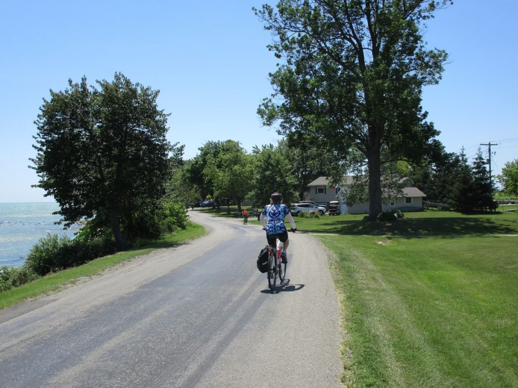
Just past Turkey Point, there are a few short but steep hills in Nomandine.
On to Port Dover, known for its “perch” dinners. The section from Port Dover to Dunnville, including the Blue Water Parkway, is one of my favourites as the quiet road is right along the water with colourful cottages. I had stopped at the Sunflower Cafe in Selkirk for lunch.
At Dunnville, you head south with Rock Point Provincial Park as a camping option. You continue cycling along a quiet road for most of the way, only reaching a bike path in Port Colborne. Here I usually stop at one of the cafes beside the Welland Canal to watch the ships.
Insider Tip: If you wish to skip Niagara Falls at Port Colborne, take the Welland Canal Cycle Path, which rejoins the Waterfront Trail in St. Catharines near Lake Ontario.
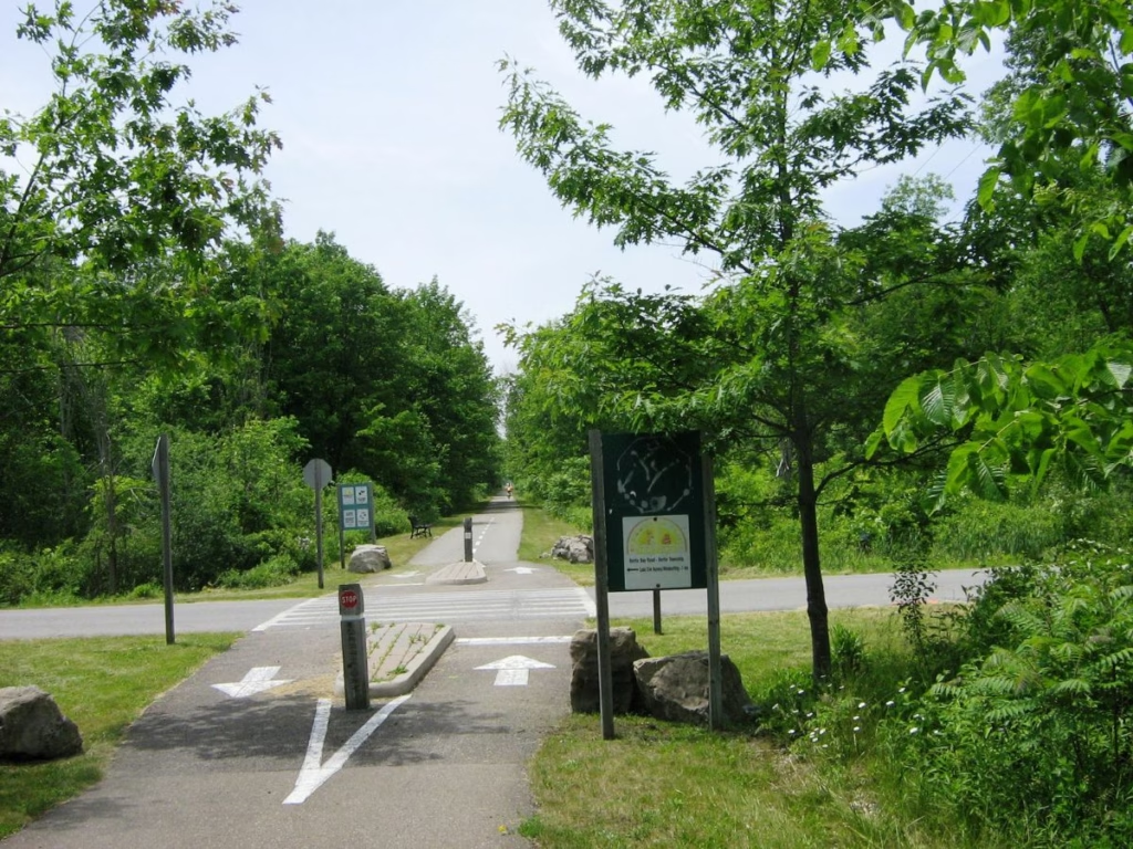
The last part of this section is along the 16-km Fort Erie Friendship Recreation Trail located on an abandoned rail line.
Ride on to Fort Erie National Historic Site, where you can visit the fort dating from the time of the War of 1812 with costumed staff and numerous exhibits. The Niagara River Recreation Trail starts right next to the fort.
7. Niagara River Recreation Trail
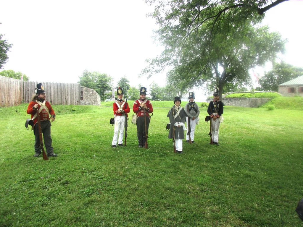
The Niagara River Recreation Trail starts next to Fort Erie and continues for 53 km to Niagara-on-the-Lake. It is, for the most part, a paved bike path next to the Niagara Parkway, with only the section through Niagara Falls on the road.
Along the way, you pass the Chippewa Battlefield, great views of the Niagara River and USA, Niagara Falls, the Whirlpool ride, Botanical Gardens, Floral Clock, Queenston Heights (washrooms), the town of Queenston, and numerous wineries.
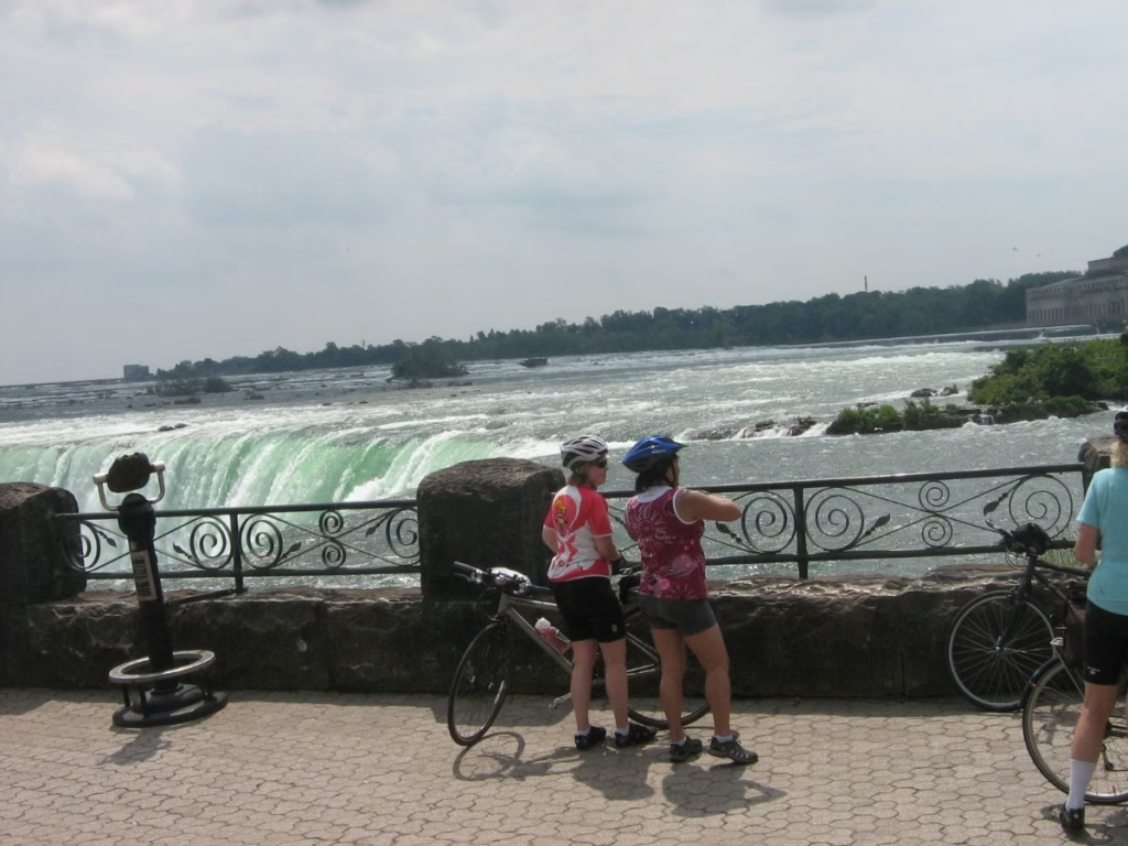
I particularly like riding through a series of parks and over bridges just before reaching Niagara Falls itself. It is also fun riding the final part into Niagara-on-the-Lake. The town offers restaurants, hotels, Fort George, and the Shaw Festival Theatre.
8. Niagara-on-Lake to Toronto
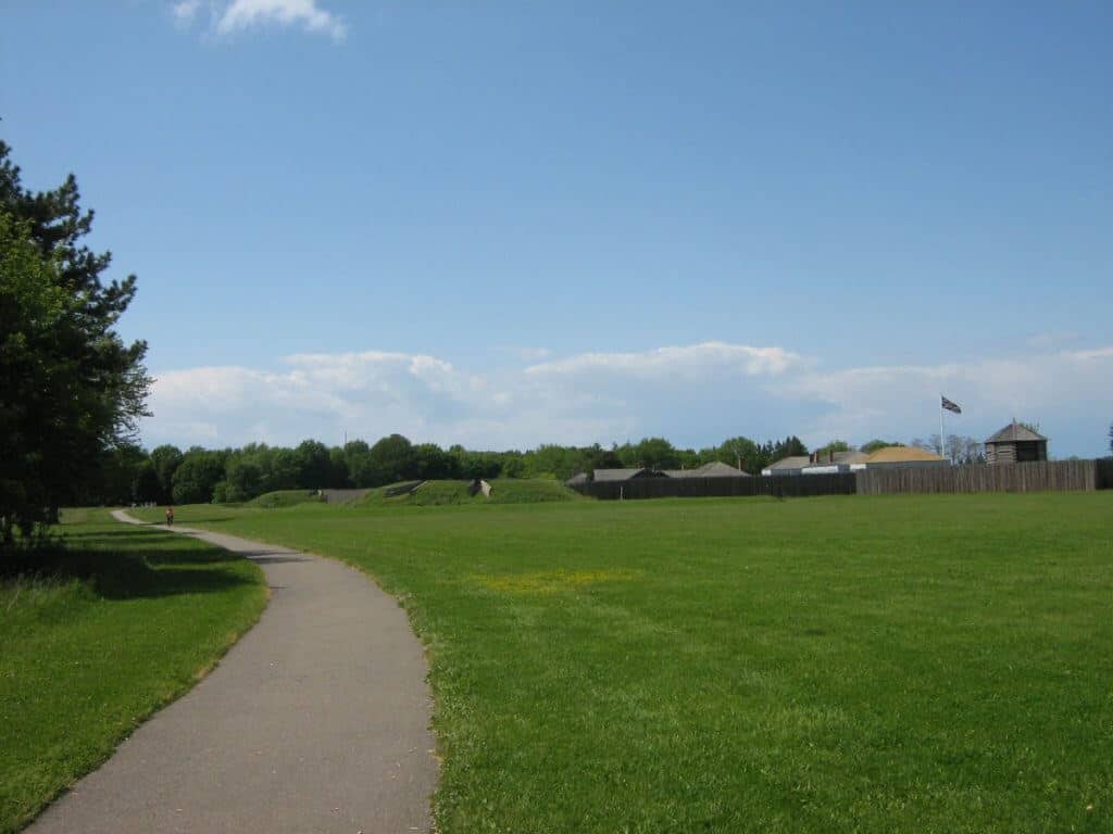
I continued the waterfront bike path along the shores of Lake Ontario, where I passed vineyards and their accompanying boutique wineries, apple and peach orchards, before crossing the Welland Canal. For much of this section, I was riding along the gently rolling paved shoulders of a county road.
My cycle tour then continues along the shores of Lake Ontario to the steel town of Hamilton with a combination of paved bike trails and quiet roads. While this section to Toronto may be completed in one long day, most people take two days to enjoy the area.
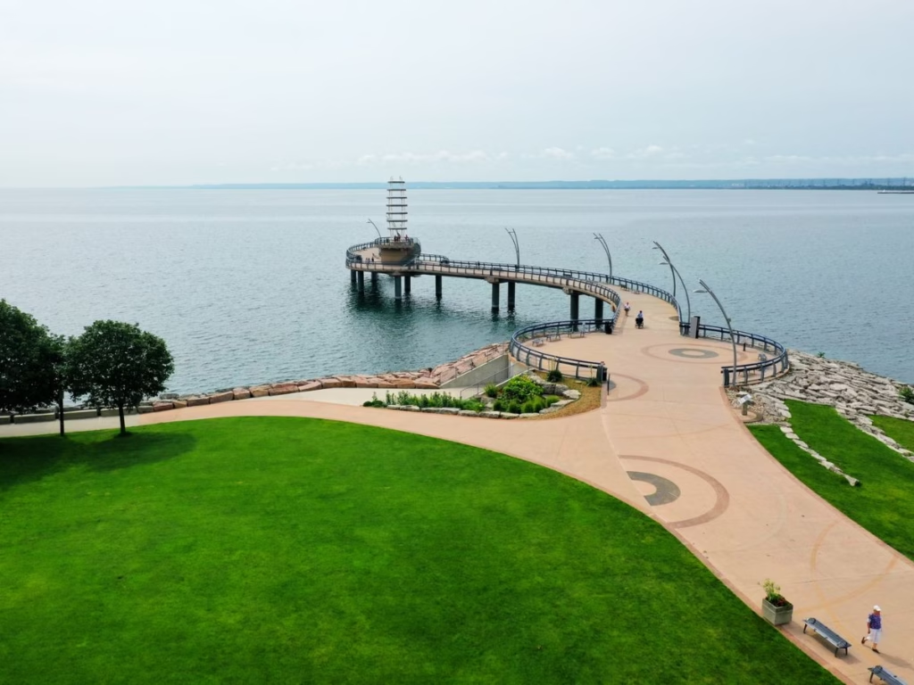
As my Waterfront Trail bicycle tour approached Oakville, home of the Ford Motor Company, I was able to see plenty of other cyclists along the bike lane heading into Toronto. Some sections are along quiet streets, and at other times through lakeside parks where you need to watch picnickers with their kids running across the path.
A good place for a coffee break is Port Credit, where you cross the river on a bridge for cyclists.
9. Cycling through Toronto

Cycling through the west end of the city of Toronto is along a paved bicycle path in the waterfront parks. At times, such as the pedestrian bridge over the Humber River, the path is shared with walkers. I was now riding along the Western Beaches of Toronto, which can be busy on weekends, and the route splits (doesn’t matter which way you go) for a short distance.
I am then right against the lake shore as I pass the Canadian National Exhibition grounds (CNE), so beware that the trail may be closed from mid-August to Labour Day. I pass Ontario Place and into Battery Park (also known as Toronto Inukshuk Park with its statue) and Coronation Park (public washroom on the left).
Still, on a dedicated multi-use trail, you ride through downtown Toronto with numerous pedestrian crossings as you go through the popular waterfront area. Linger in this great city and explore, especially at the ferry docks, where there is a statue of Jack Layton on a tandem bike, a politician, and a good photo opportunity for you as well.
On to the Portlands, where a major construction project is ongoing. The bike paths then take you to the Toronto Beaches, where there is a public restroom. Pedestrians should be on the parallel boardwalk, but have a habit of crossing the bike lane, so take care.
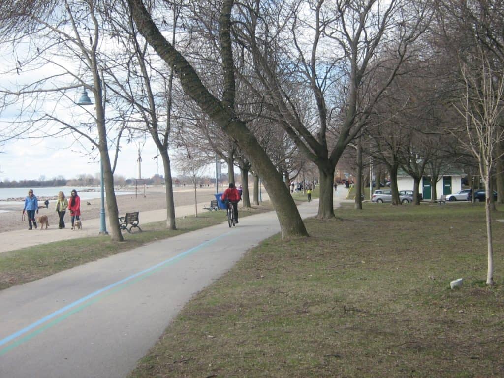
There are gaps in the Waterfront Trail in the city’s east end, which are along well-signed residential streets. Eventually, I reached Copperfield Road, lined with trees, and I even saw a deer. At the end of the road in East Point Park, I picked up a paved, dedicated path again and closely followed the shores of Lake Ontario again.
10. Durham Region and Prince Edward County Cycling

My bicycle touring along the Waterfront Trail in this area starts along residential streets and lakefront parks in Oshawa’s Durham Region, but gradually continues along rural roads, still following the shores of Lake Ontario.
Many small towns, such as Port Hope, which feature many historic buildings, are worth a visit. I will begin to see apple orchards as your bicycle tour continues east, and I reach Prince Edward County, where vineyards and rural roads are bordered by lilacs.
11. Kingston and along the St. Lawrence River
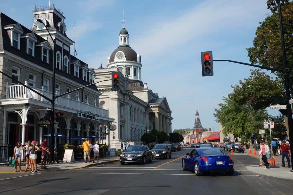
Continue along the Waterfront Trail and enter the historic city of Kingston. Be sure to stop at Old Fort Henry. I am now bicycle touring in the Thousand Islands area on the St. Lawrence River bicycle trail. Connections may be made here with the Seaway Trail in the United States. Upper Canada Village is one of the major attractions in this area.
12. Into Montreal and the Province of Quebec
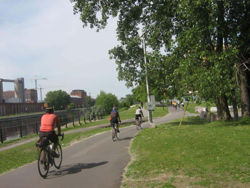
In Quebec, the border follows Route Verte (Green Route 5) for about 80 km into downtown Montreal. There are bicycle lanes on the bridges to Montreal, so don’t worry about the traffic. Most of this section is along quiet residential streets of West Island and paved bicycle paths, including the Lachine Rapids section, Port of Montreal, Old Montreal, all the way to Mont-Royal, and the end of your journey.
Eleven Things you’ll love about cycling the Waterfront Trail
- Variety – each day brings a new experience from rural to urban areas
- Amazing sightseeing – Niagara Falls; Old Fort George; wineries; kayaking to Toronto Islands; visiting a former jail in Kingston; Upper Canada Village; Old Fort Henry, and much more
- Connects with the La Route Verte, which takes you to Montreal
- Wineries – lots of wineries you can visit in the Niagara and Prince Edward County regions
- Terrain – as you are riding along the shores of Lake Ontario, the Niagara River, and the St. Lawrence River, expect it to be mostly flat with a bit of rolling hills in places
- Accommodation – this is a popular area for visitors, so lots of campgrounds, motels, hotels, and B&B places to stay along the way
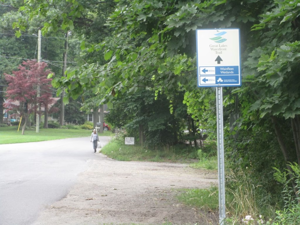
- Signage – this is a well-signed and easy-to-follow route; you are not likely to get lost
- Paved trails – almost all paved routes along quiet streets or bicycle paths
- Great scenery – besides the lakes, you have vineyards and cities such as Toronto
- Toronto – the route is along the bike path right through downtown, passing the harbour
- Guided tours available – from the Great Lakes Waterfront Trail organization
Resources
Great Lakes Waterfront Trail Website – with more detailed maps of the route
Ontario Parks Reservations – numerous parks along the route include Lake Superior, Pancake Bay, Pinery, Turkey Point, Darlington, and others.
Parks Canada Reservations – many parks along the route include Pukaskwa, Bruce Peninsula, Point Pelee, and Thousand Islands.
Manitoulin to Tobermory Ferry – reservations for the MS Chi-Cheemaun
booking.com – for hotels and other accommodation along the journey
FAQs: Great Lakes Waterfront Trail
How long is the Great Lakes Waterfront Trail?
The Great Lakes Waterfront Trail website lists it as 3600 km from Sault Ste. Marie to the Quebec border. The most popular sections include the Niagara Recreation Trail from Fort Erie to Niagara-on-the-Lake and the Waterfront Trail from Niagara-on-the-Lake to the Quebec border.
How long is the Toronto Waterfront Trail?
Also known as the Martin Goodman Trail, it passes through Toronto, it is approximately 56 kilometres from the Humber Bridge in the west through the downtown area to the Rouge River in the east. In reality, the Waterfront Trail enters Toronto a few blocks to the west in Mississauga and follows residential streets.
How long is the Oshawa Waterfront Trail?
The Waterfront Trail in the Oshawa Region extends for 11 km.
How long is the Kingston Waterfront Trail?
The 8 km pathway connecting to the downtown core extends to the west, passing Queen’s University.
Is the Waterfront Trail difficult?
For the most part, the Waterfront Trail is on fairly flat paved bicycle trails or quiet roads, but there are a few short, steep hills in the Mississauga area.
Final Thoughts: Cycling The Waterfront Trail
The best time to ride this route is from June to September, when it is warmer and less rain can be expected. You can get to Niagara if you just do this section using the GO Train from Toronto, which, in the summer, has bicycle cars on selected departures.
Cycle touring Canada has additional routes for you to explore. The Waterfront Trail & Greenway provides history, a wonderful variety of scenery, and a look at both English and French Canadian regions.