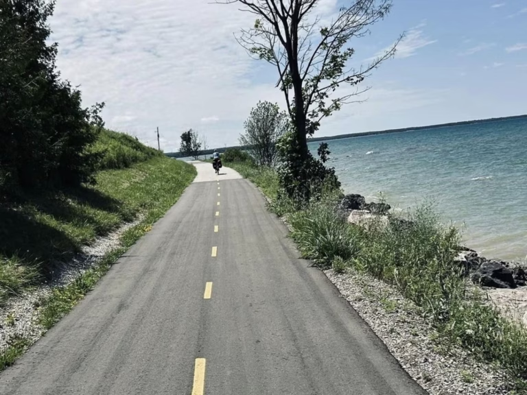
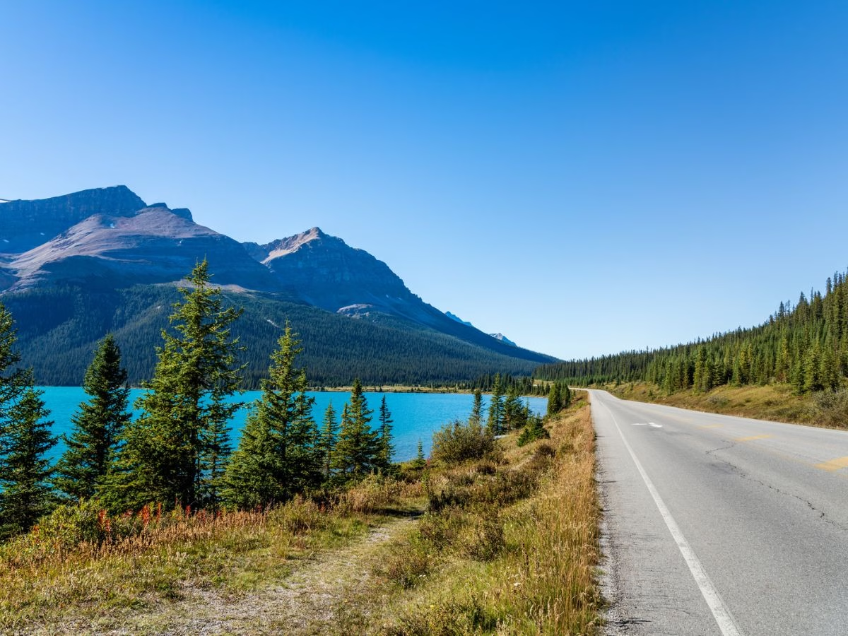

Looking to go bicycle touring along the Icefields Parkway?
You’ve certainly come to the right place, as I have family in Calgary, and it is an area I visit often.
Bicycle touring the Icefields Parkway is one of those trips that was on my bucket list. The Icefields Parkway has been described as the most beautiful mountain road in the world. You will be bicycle touring through Jasper and Banff National Parks while the spectacular scenery of the majestic Canadian Rocky Mountains surrounds you.
Use my helpful guide to help plan your bicycle tour.

Distance: 231 km along Icefields Parkway, which connects to Banff and Canmore for closer to 300 km
Elevation gain: 3,758 meters, basically on 2 climbs
Estimated time: 4 days, but depending on stops, can be 6 days
Difficulty: challenging due to the climbs, but the rest of the trip is moderate
Cycling the Icefields Parkway is an unforgettable experience. With its stunning mountain views, turquoise-colored lakes, and sprawling glaciers, this is a cycling route like no other. The Icefields Parkway runs for 241 km (150 miles) between Jasper and Lake Louise in the Canadian Rockies, making for a challenging but rewarding journey.
For most of the route, expect to be cycling along the wide paved shoulders of the two-lane highway. Also expect to encounter elk, moose, and bighorn sheep right along the highway, and there was also a black bear along the road during our visit. Campsites provide a method to store your food, as bears can be an issue.
First, stock up on supplies in advance as they are very limited along the route, and put them in your Ortlieb waterproof panniers. Also, do not expect cell phone service along the entire route. Note that you are legally required to wear a bicycle helmet in Alberta.
Cycling in Jasper National Park
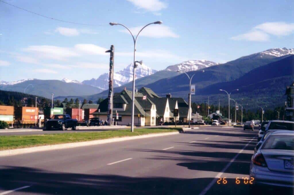
Before you start your ride, maybe take the evening wildlife tour or the Wildlife and Waterfalls tour with Maligne Lake Hike.
2026 Note: Maligne Canyon is closed for the 2026 season. After the 2024 wildfire burned through the slopes above it, Parks Canada has assessed the risks – landslides, debris fall, unstable terrain – and decided the canyon itself needs significant work before it’s safe to reopen.
What is open: Maligne Lake (boat tours, lakeside access), the Fifth Bridge day-use area and Trail 7 beyond it, and Maligne Road itself, though the fire damage along the route is visible throughout. Athabasca Falls, Sunwapta Falls, Pyramid, and Patricia Lakes are all operating normally.
For more information on Jasper National Park and the Icefields Jasper section, check out the Parks Canada website.
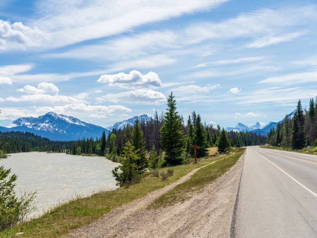
Starting from the town of Jasper, head south along the Icefields Parkway (Highway 93), which is fairly flat in this section. About 7 km from Jasper, you can choose to continue along that route or take Highway 93A, a narrower, a bit bumpy, and quieter route with some rolling hills before it rejoins the main route. This road also leads to Mt. Edith Cavell and Angel Glacier, although trails were still closed during our late June visit due to icy conditions.
Whichever route you take brings you to Athabasca Falls, located 30 km south of Jasper. Here, the waters of the Athabasca River drop through a narrow canyon. Enjoy your lunch at the picnic area while watching the spectacle. There is also a hostel across the road.
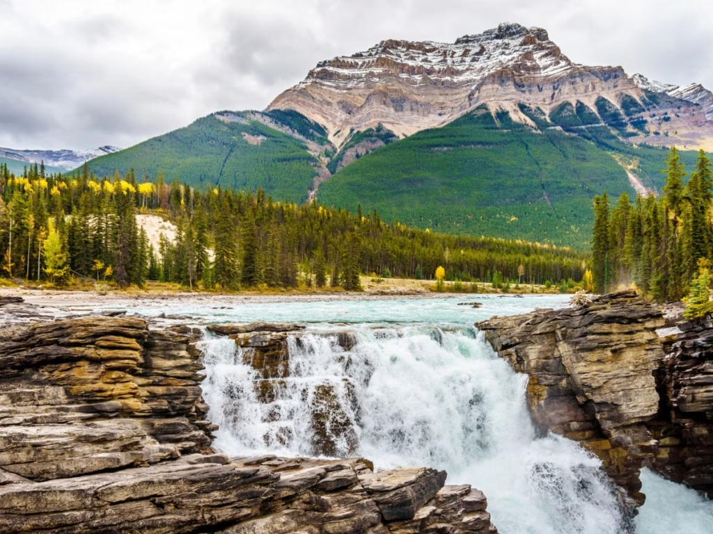
Insider Tip: Athabasca Falls is one of the must-see stops along the way. The spectacular falls are around 24 meters (80 feet) high, making them an impressive sight to behold. As you cycle closer to Athabasca Falls, you can feel its power and hear its roar. You can take a break and admire the beauty of the falls before continuing your journey down the Icefields Parkway.

However, most cyclists continue to Sunwapta Falls, located about 55 km (35 miles) from Jasper, where there is a resort and nearby Honeymoon Lake campground. At the falls themselves, you will see the water tumble into a limestone gorge. There are lower and upper falls that can be reached along a 1.3 km trail.
This is the hardest section, as just past Stanley Falls, the highway climbs 300 meters (1,000 feet) from the floor of the Sunwapta Valley, reaching a 12 percent grade at the end before descending to the Columbia Icefield, located 103 km south of Jasper.

Here you will find several campgrounds, a hotel, and a restaurant. The Columbia Icefield is the largest in the Rocky Mountains, covering 325 square km (125 square miles) with the water flowing into three oceans. We went for a quick walk on the section of the glacier near the highway, but there are tours with giant snowmobiles available.
Riding from the Icefield Centre at 109 km (68 miles) from Jasper, you continue to ascend to 2,035 meters (6,676 feet) and the park boundary between Jasper and Banff National Parks, with the Hilda Creek Hostel just past this.
Cycling to the Summit
About 143 km (89 miles) into your journey, you descend approximately 300 meters (980 feet) over an 11 km (7 miles) stretch down the “Big Hill,” providing you with spectacular views of the mountains and valley below. On our trip, there were also some Big Horn Sheep along the side of the road.
Continue along to the 154 km (96 miles) point and the junction with the David Thompson Highway, where you can find accommodation, a restaurant, and a store to stock up on items, and where you also cross the North Saskatchewan River. David Thompson was a fur trader who first came through this area in 1807.
You will be climbing a bit past Mistaya Canyon and to the Waterfowl Lakes Campground, some 174 km (108 miles) from Jasper. The Icefields Highway continues to climb to the summit of Bow Pass, at 2,069 meters (6,787 feet), the highest point offering some great views.
Over the next 40 km (25 miles) however, you will be gradually descending. There is a hostel, campground, and lodge along this section. Also, stop at the Crowfoot Glacier Viewpoint for a great photo opportunity.
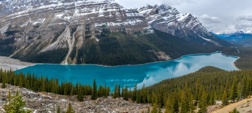
You must take the time to hike or bike to Peyto Lake, named after the trapper and trail guide Bill Peyto. Known for its picturesque glacier-fed emerald waters, the Peyto Lake viewpoint is worth the stop.
Cycling past Lake Louise

After 231 km (144 miles) of riding, you reach the junction with the Trans Canada Highway and follow it for a short distance into the resort town of Lake Louise. Campgrounds, hotels, shops, and restaurants are available, and it is worth stopping for a few nights.
Joining many others, we followed one of the hiking trails into the mountains to the famous Tea House for outstanding views of the mountains. Cycle up to Moraine Lake in the Valley of the Ten Peaks (considered by many to be even more beautiful).
Cycling through Banff National Park
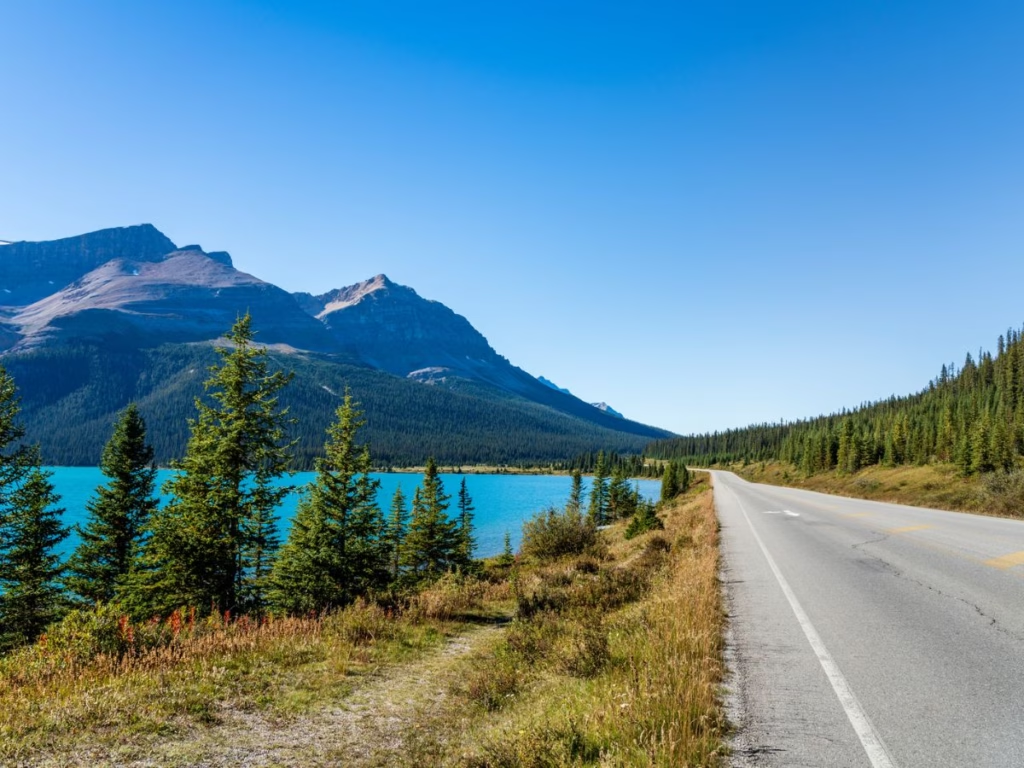
Leaving Lake Louise for the final 64 km (40 miles), you are no longer on the Icefields Parkway but instead following the Trans Canada Highway for a short distance before joining the much quieter Bow Valley Parkway as it follows the Bow River.
Cycling the Bow Valley Parkway

It is about a 30 km (19 miles) ride from Lake Louise south to the start of the secluded Bow Valley Parkway (Highway 1A). This scenic road runs parallel to the Trans Canada Highway for 48 km (30 miles) and often splits, so you cannot see the other lane.
Heading down the Bow Valley Parkway towards Banff is easier, as just past Johnston Canyon, it skirts around a hill, while the northbound road requires you to climb that hill. During our visit, numerous Elk could be found grazing along the side of this road.
Insider Tip: The Bow Valley Parkway is closed to motor vehicles and open for cyclists in May and September each year between the Fireside Day Use Area and Johnston Canyon.
Banff Park Notice Closure Notice
A section of the Bow Valley Parkway is closed to cars, cyclists, and pedestrians between 8 p.m. and 8 a.m. daily from March 1 to June 25 each year.
This is to reduce disturbance and increase habitat security for sensitive wildlife species during critical times.
Copy of the bulletin

Insider Tip: At Johnston Canyon, we stopped beside the hotel for some ice cream and followed the numerous tourists to view both the Upper and Lower Falls. We lost the crowds as we continued along the same trail to the Ink Pots, which are pools of blue-green water. This hike is 5.8 km one way, a 4-hour return walk. Highly recommended.
Banff Connector Cycle Path
After cycling the Bow Valley Parkway, you cross under the Trans Canada Highway and pick up the connector cycle path, which drops down to lake level with impressive views of the mountains on the other side. This paved path is about 5 km long and takes you right into the town of Banff.
After 290 km (180 miles), we pulled into the town of Banff, where an elk stood next to the welcome sign; although not arranged by the tourist office, these wild animals provided a suitable welcome. Banff boasts numerous hotels, shops, and restaurants.
The Banff Park office provides a map of local cycling routes for both mountain and road bikes. My brother met us in town and drove us along the 24 km scenic Lake Minnewanka Road, which is rated moderate for cyclists. We also took a walk in Banff to see the Bow River Falls and Hoodoos, unusual rock formations.
In Banff, you may wish to go on the Gondola Ride to the top of Sulphur Mountain for an amazing view of the mountains.
Cycling along the Legacy Trail

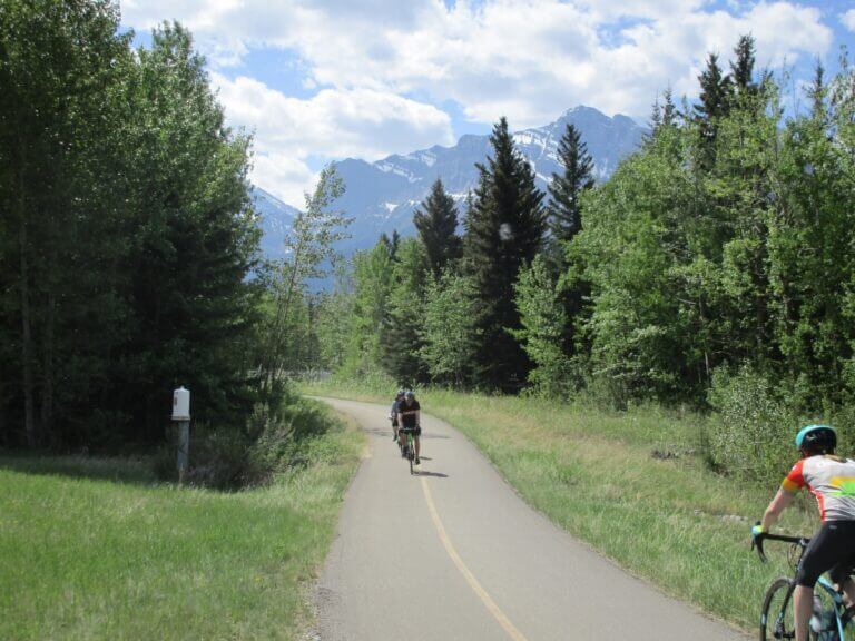
The Icefields Parkway also connects with the Legacy Trail in Banff (also known as the Rocky Mountains Legacy Trail) and continues for about 30 km to Canmore. This paved 3-meter-wide route is also very scenic and runs parallel to and is separated from the Trans Canada Highway. It is gently rolling with a few short steep hills, but expect a lot of cyclists.
Getting to the start
VIA Rail or there are private shuttles are available from Calgary (and Calgary Airport), Edmonton to Banff, and Jasper to get you to the start. You may wish to spend some time in the Jasper area before your journey starts.
Consider Discover Cars if you require a rental car.
Icefields Parkway Cycling Map

Cycle Tours along the Icefields Parkway
You can rent bikes and equipment from local stores in Jasper, Banff, and Canmore, or you can bring your own gear. If you don’t fancy cycling the whole way, you can join one of the guided tours that are available and explore the area with an experienced guide.
4-Day Bicycle Tour – includes 3 nights accommodation, guide, most meals, van support, transfers from Edmonton and Calgary, plus more.
Other Resources
Icefields Parkway Map – while you are most likely using a GPS, if you want a paper map.
HostelWorld – there are hostels along the route in the Jasper area, Athabasca Falls, Lake Louise, Banff, and Canmore.
VRBO – has cabins in Jasper, Lake Louise, and Banff.
Expedia – for hotel accommodation along the Icefields Parkway
Booking.com – for hotel accommodation in Jasper, Lake Louise & Banff, plus Sunwapta and Saskatchewan River Crossing.
FAQs: Icefields Parkway Cycling
Can you bike on the Icefields Parkway?
Yes, you can cycle along the scenic Icefields Parkway from Jasper to Banff on the paved shoulder. There are connecting bike routes to Banff and Canmore.
What time of year is best for the Icefields Parkway
The peak time is from late June until early September, although the highway is open all year. Note that the weather can change quickly, and if hiking, you may encounter snow on some of the trails
How long is the Icefields Parkway from Jasper to Lake Louise
The Icefields Parkway is about 231 km (144 miles), but if you continue to Banff (which everyone does) expect a distance closer to 290 km (180 miles).
Will you see wildlife along the Icefields Parkway?
You may elk, moose, and big horn sheep right along the highway, and sometimes black bears along the road.
Is the Icefields Parkway worth it?
One of the most spectacular drives in the world from Jasper National Park to Banff National Park includes waterfalls, emerald lakes, mountain scenery, and wildlife right along the road.
Is a permit required along the Icefields Parkway?
National Park fees are applicable in Canada’s National Parks. The best value is offered by the Parks Canada Discovery Pass, which provides admission to all the parks for one year of purchase. Promo codes are sometimes available.
How long does it take to cycle the Icefields Parkway
Depending on your speed and how many stops you make, it can take 4 to 6 days, plus the time you will want to spend exploring Jasper and Banff.
How difficult is it to cycle the Icefields Parkway
This can be a difficult ride with many small hills. However, there are two major mountain passes that require major climbs and descents.
Which direction to cycle the Icefields Parkway
It is best to ride from north to south (from Jasper to Banff) as you will find the grade of the climbs better, and, more importantly, you will be riding towards the most spectacular scenery. How far you cycle each day will depend on your preferred type of accommodation (camping, lodges, hostels) and how often you stop to view waterfalls, glaciers, and mountains or take short hikes as we did.
Wrap-up: Cycle touring the Icefields Parkway
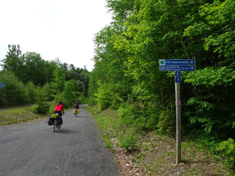
Other interesting Canadian bicycle routes. In particular, Le P’tit du Nord goes through the Laurentian Mountains in Quebec. If you are looking for an incredible bicycle touring trip along the mountain-lined route, the Icefields Parkway is an excellent choice.