
Are you interested in riding the Great Allegheny Passage?
Well, I have biked the Great Allegheny Passage (GAP) twice. It is not your average cycling rail trail, or so I believe. My friends had been pressing for another adventure, so we decided on this route, which crosses southern Pennsylvania and into Maryland.
Use our helpful guide to ride the 3 most dramatic sections of the Great Allegheny Passage:
- Ohiopyle to Confluence
- Riding the Divide is my favorite part, and I included the Salisbury Viaduct
- The historic C & O Canal
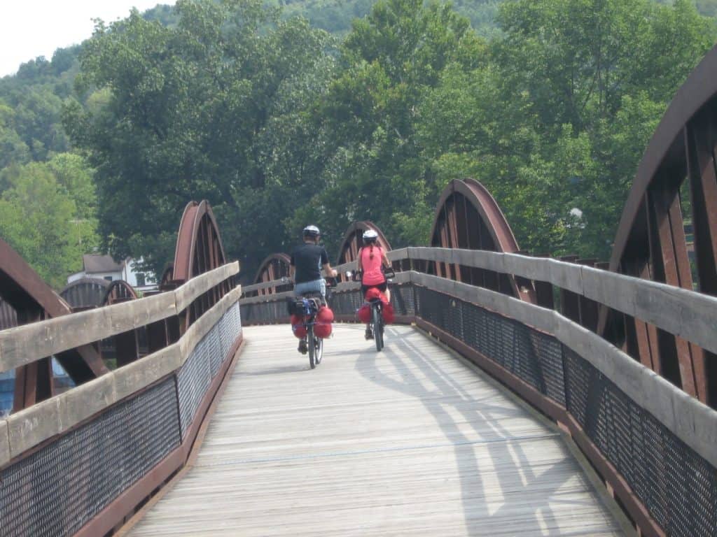
If you are not familiar with the Great Allegheny Passage, it provides 150 miles of rail trail between Pittsburgh and Cumberland, where it joins the Chesapeake and Ohio (C&O) Canal National Historic Park for a total of 335 miles.
It is open for cyclists, hikers, or horseback riders in parts. It promises high-level bridges, old rail tunnels, a crossing of the eastern Appalachian Mountains, and lots of history in Harper’s Ferry National Historic Park. You can order a detailed guidebook on the trail website for full details, although the online site is pretty detailed itself.
Now I will not only be cycling, as I see bicycle touring as a way to explore a region and not just add a huge number of miles every day. So I will do some hiking to see the waterfalls in Ohiopyle (a section of the Potomac Heritage National Scenic Trail that goes through the park) and perhaps even attempt white water rafting.
I plan to cycle the most dramatic sections of the route in the middle, although how far I ride will be decided on arrival. I will be using our road bikes adapted for touring, which I always use when bicycle touring. The trail website states that I should not encounter any issues on the crushed limestone surface.
Although I rode only on weekdays, there were plenty of other recreational cyclists, and many were loaded down with cycling panniers for the long journey.
The Classic, from Ohiopyle to Confluence Cycling Route
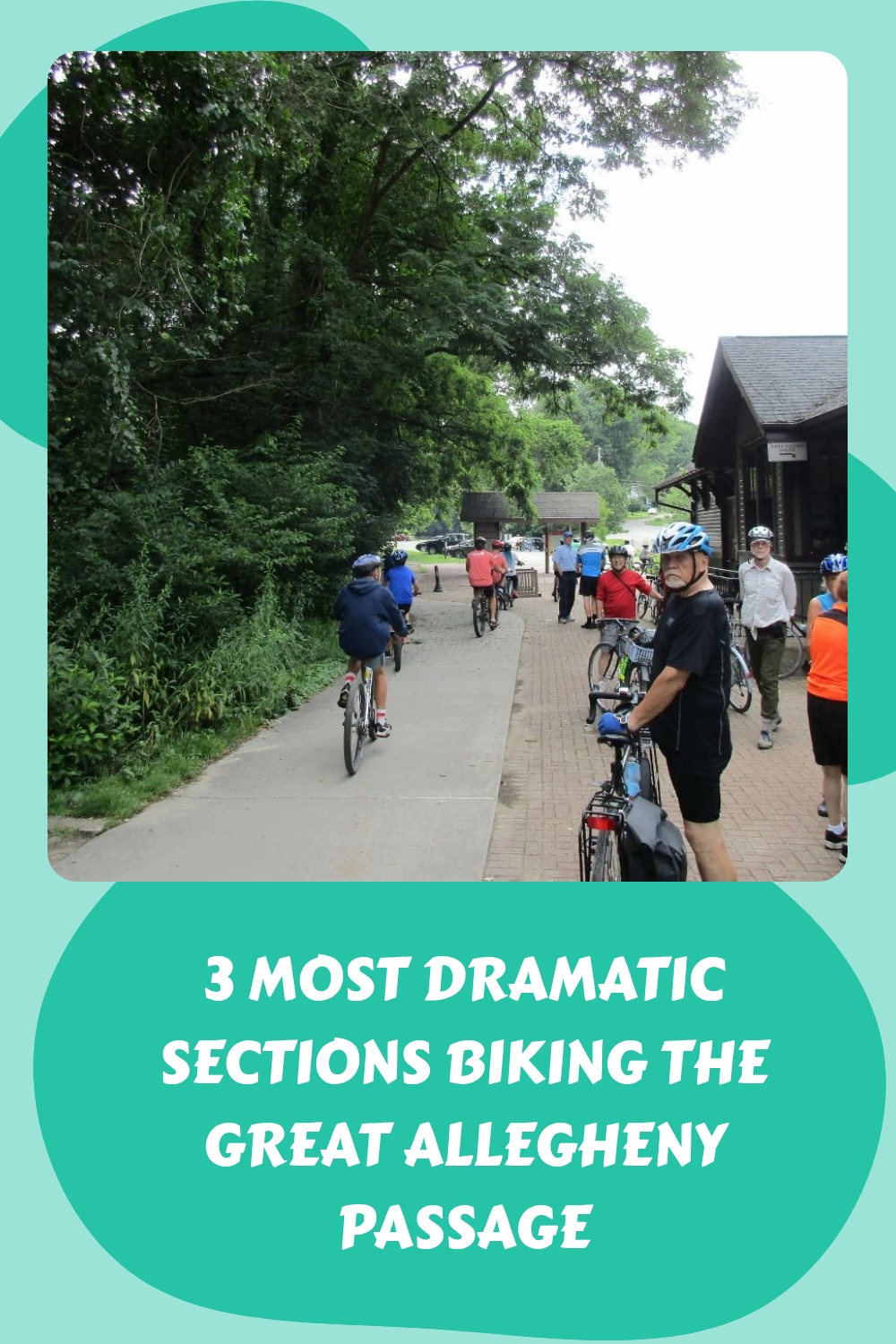
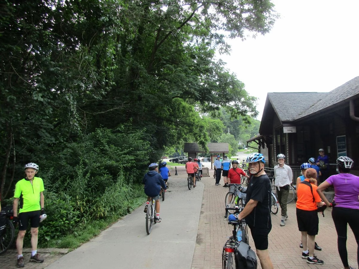
My first ride was The Classic, so named by the Trail Association. It begins at the historic train station in the heart of the town of Ohiopyle, with signs along the highway providing directions to the large parking lot. The station offered tourist information, restrooms, picnic tables, a map with a general store, restaurants, and several bike rentals and repair places across the road.
I started our ride by riding west a short distance in the direction of Connellsville to see both the High Level and Low-Level Bridges over the Youghiogheny River. Below me were the rapids in a deep gorge, and Ohiopyle Falls was just downstream.
Also, I could see kayakers playing around, and water rafters as well. This side trip is well worth the detour. If accessing the route from the campground, you start right from the High-Level Bridge.
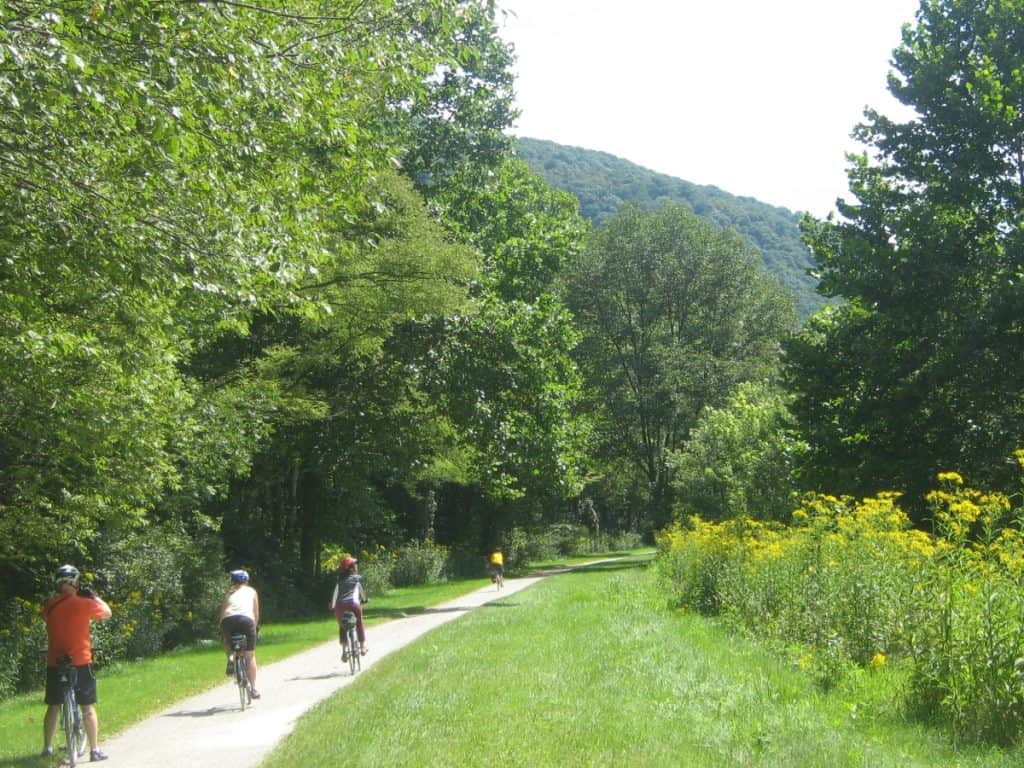
I then cycled back to the Ohiopyle Train Station and started riding this flat section east towards Confluence. This is not one of your boring rail trails with the Youghiogheny River on your left, and where, through the trees, we could occasionally see kayakers and white water rafters running the rapids.
At one point, I stopped and took a set of stairs to get a better look at a raft caught up on some rocks. For a weekday, I was amazed at the number of rafters and kayakers on the river.
It was easy riding for the 10 miles to Confluence with signs detailing the history and other information every so often. Also, signposts count down the mileage.

Reaching Confluence, there was a booth handing out tickets for a free gift if you visited the local bike store, so I rode in town, crossing two pedestrian bridges to the town square, complete with a gazebo, to check out the items in the bike store.
My picnic lunch was right along the river, and as soon as I settled down, a family of ducks came running across the lawn for a handout clearly used for cyclists. Then it was back to Ohiopyle for me, for a total journey of about 26 miles.
Insider Tip: You can also ride along the river in the opposite direction from Ohiopyle to Connellsville for an easy day ride.
Riding The Divide Route
I drove to the Meyersdale Train Station located on the edge of the downtown area. Besides the washrooms, the station has a small museum and a train caboose from another era.
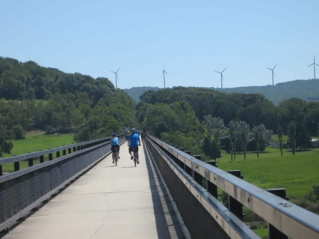
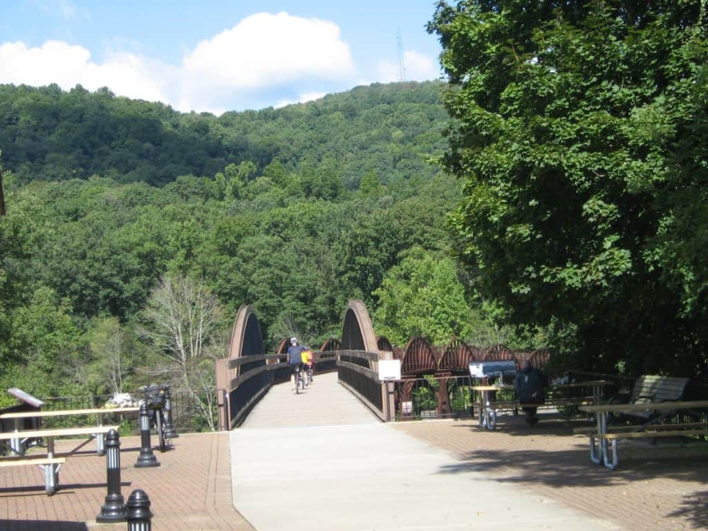
I headed west down a slight slope for just over a mile to check out the 1,908-foot Salisbury Viaduct. A lot of other cyclists had the same idea. On arrival, I heard a siren and then an explosion, followed by a cloud of dust from the quarry we could see in the distance. The viaduct crossed 4 lanes of the highway and a river while providing a great view of the surrounding hills and wind turbines.

Again, I backtracked uphill into Meyersdale Station and kept heading east, soon arriving at Bollman Bridge and then the even more impressive Keystone Viaduct. Although only 909 feet long, this viaduct winds over a local road, a river, and through the trees, as you start to climb for amazing photo opportunities.
Expect to be climbing slightly for the next 8 miles, although remember it is a rail trail. You will also be crossing a series of bridges over Flaugherty Creek.
I stopped to take a picture while my friends continued, and as I got back on my bicycle, two deer leaped onto the trail right in front of me. One of them kept nodding his head towards me as if to challenge me before trotting down the Great Allegheny Passage and into the forest.
At a place called “Deal,” there is a map and some benches, so I stopped for a quick break as things started to get interesting on the trail.
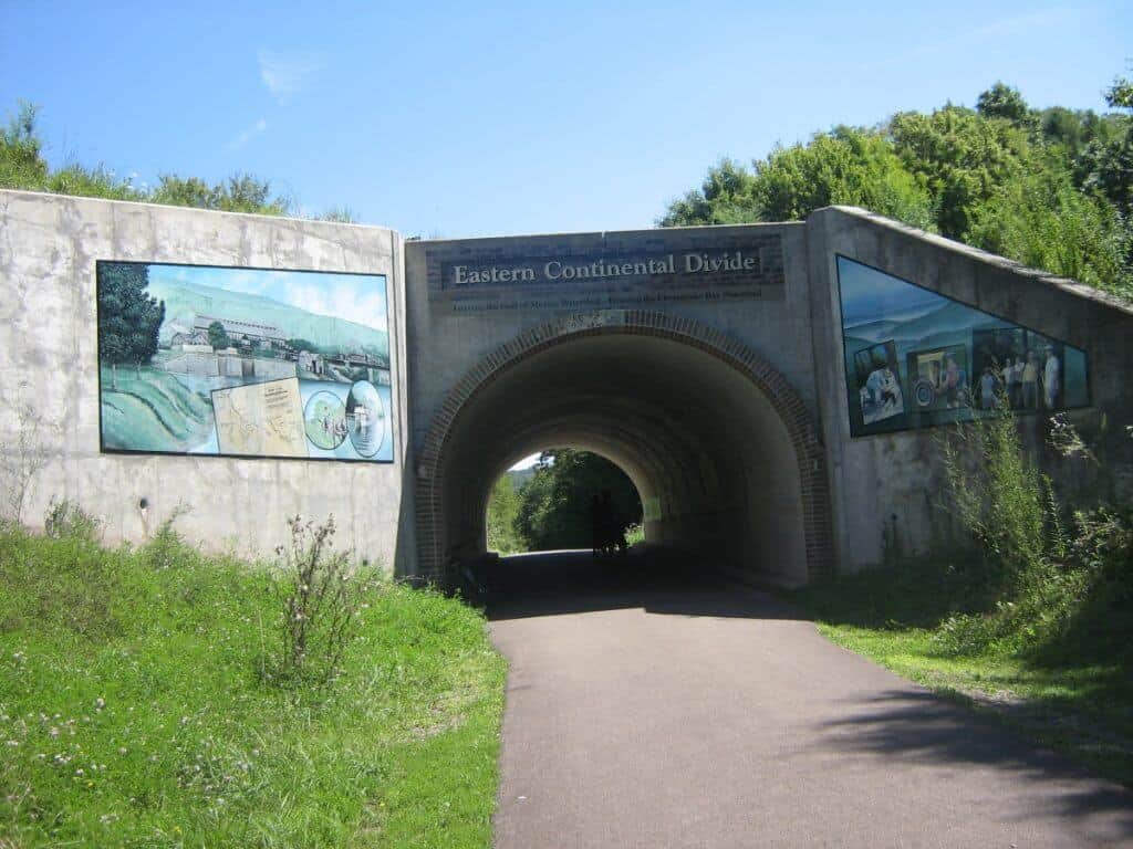
First up is the Eastern Continental Divide, at 2,392 feet, the highest point on the Great Allegheny Passage, and I stopped to look at the interesting historic paintings on the sides of the short tunnel and had our picture taken by some walkers. As I crossed the divide, we looked forward to 8 miles of downhill riding; however, on a slight slope.
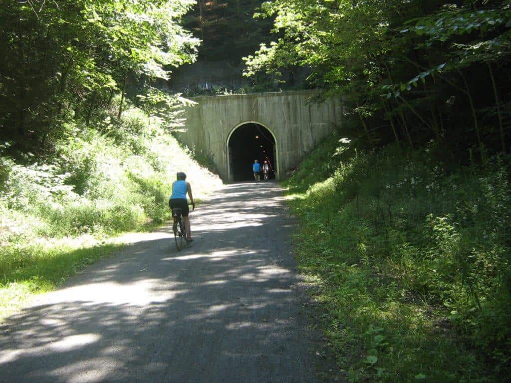
The Big Savage Tunnel is 3,294 feet long and a joy to ride. On this hot day, I loved the coolness and the fact that it had a row of lights.
Insider Tip: Coming out into the brightness on the far side, we rounded a bend on the path and saw a long row of benches and picnic tables with outstanding views of the surrounding countryside, including the wind turbines on the hill behind. This was my lunch spot, and there were washrooms nearby.
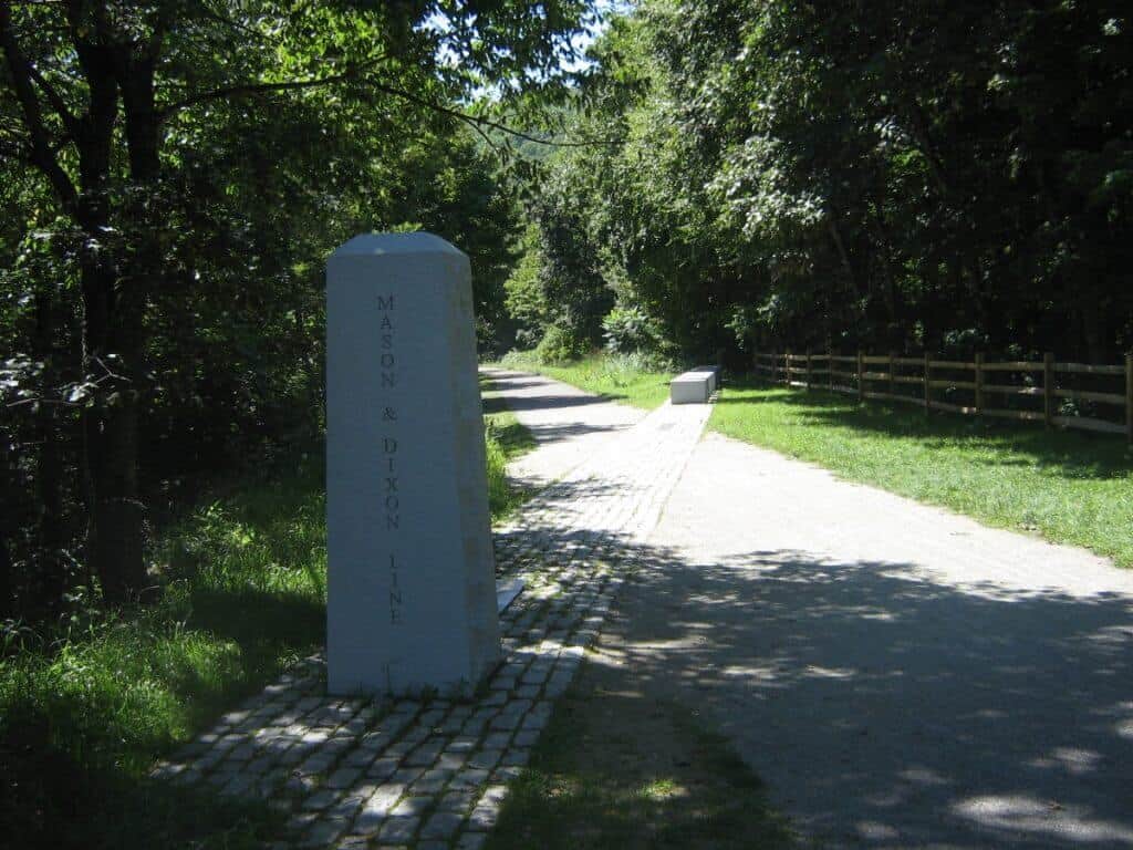
Continuing my ride after about a mile, I reached the Mason-Dixon Line parklet and stopped to read up on the historic information and take more pictures.
I was not finished with tunnels yet, as I was soon upon the 957-foot Bordon Tunnel, which is unlit. Rookie mistake: I had forgotten to take off my sunglasses and could barely see.
The route continues into the edge of Frostburg with a washroom and bicycle art on the hill. I didn’t head into town but turned around and joined some people on horses and a large group of kids on bikes heading back toward Meyersdale. The total distance today was 36 miles.
Historic C & O Canal Cycling
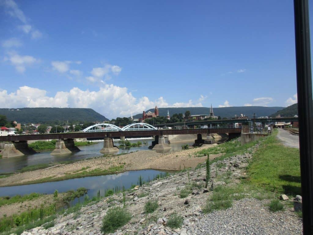
I started from the tourist office at the Cumberland Gap, where the GAP and C & O Canal trails meet. Besides information and washrooms, the tourist office features a free museum with exhibits about the area.
As you go under the arch at the start, you pass a bicycle shop, and something I would find really useful is a bike wash stand. The surface is not as well-maintained as the GAP, and as it had rained the previous day, there was much mud in the many potholes. Route markers are indicated on short brown painted posts.
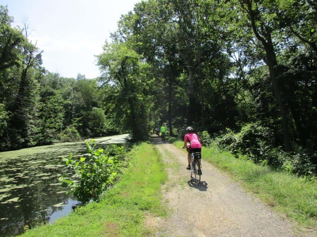
There are campsites right along the C&O Canal Towpath, and you do pass many former locks. We saw many turtles basking in the sun along the way as well. I went only a few miles, but the route continues for 184.5 miles to Georgetown.
6 Spectacular Stops along the Great Allegheny Passage
The Great Allegheny Passage bike trail is not only about the ride, but you are riding through an area with a lot of history, so it is not your ordinary rail trail.
- Ohiopyle – visit the town and the waterfalls, a side trip river rafting on the Youghiogheny River (which several in our group did), crossing the Low Level and Ohiopyle High Bridge over the river, and several ice cream shops.
- Town of Confluence – cross 2 bridges to reach the town square with a gazebo and a local bike shop in a part of rural Pennsylvania
- Salisbury Viaduct – at 1,908 feet and built in 1912, crossing the Casselman River Valley with the most spectacular views for cyclists. Another 2 miles brings you to Meyersdale and the train station with a museum (washrooms too).
- Keystone Viaduct – wanders through the treetops as you gradually climb
- Meyersdale – visitor center and store in the train station
- Eastern Continental Divide – a gradual climb on the bike trail brings you to this spot with some paintings of the history of the area
- Big Savage Tunnel – the longest tunnel at 3,294 feet is quite the experience riding through. At the eastern entrance is a ridge with views of the valley and picnic tables, which makes a great lunch spot. This long tunnel is open each year from approximately April 1 to November 30
- Borden Tunnel – not as long as the Big Savage tunnel, but with no lights can be a bit disorienting as you ride through
- C & O Canal Towpath – Harpers Ferry, numerous historic locks and buildings
Riding Surface
Along the GAP Trail, all of us cycled on road bikes, although with a hard-packed trail surface, it had a smooth surface. Still, a mountain bike would have been more suitable. The C & O trail was a different matter, as you really must have a mountain bike or a really solid touring bike. Don’t have a bike, don’t worry, as it seemed every town along the route had one or more bike shops with rentals.
Accommodations along the way
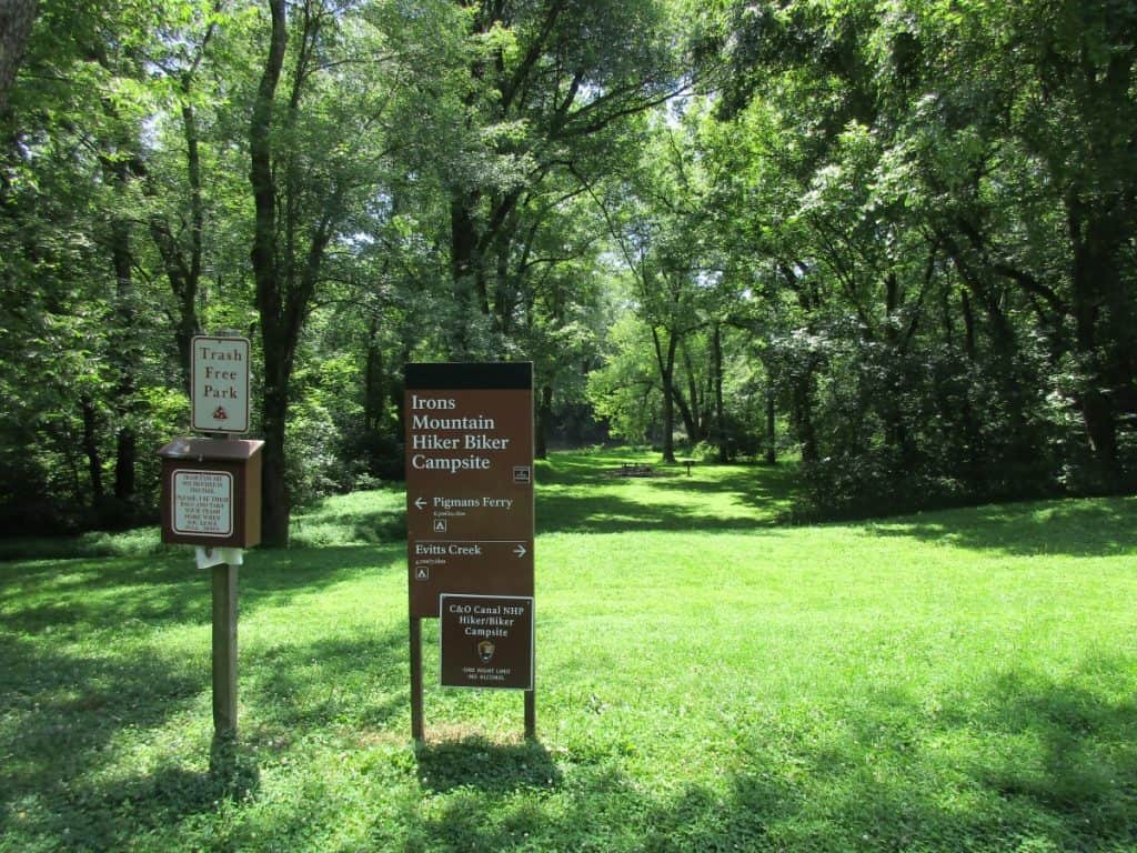
We were bike camping and appreciated the very informative GAP website, which provides a list of bicycle-friendly campgrounds for tenting, although some of the parks feature Yurts, cottages, and cabins. We tried to book a Yurt in Ohiopyle State Park for the experience, but it was sold out. There is also a list of motels, hotels, and B & B in the trail towns adjoining the trail that accept cyclists.
We stayed in a cabin and tent site in Ohiopyle State Park in southern Pennsylvania with lots of other cyclists at Mile 71 of the trail. There is a bike-hike gravel path connecting the GAP with several walk-in campsites and Kentuck Campground.
VRBO Ohiopyle – hotels, apartments, and homes near the GAP Trail in Ohiopyle.
VRBO Meyersdale – lodges and cabins right off the bike trail
VRBO Cumberland – lodges, apartments, and homes with many advertising bike storage
booking.com – hotels, motels, cabins along the route
Ohiopyle State Park – camping information
Pennsylvania State Parks – camping information on all the state parks
Great Allegheny Pass Bike Tour
There are several bike tours along the route.
Ohioplye E-Bike Rentals – the only company in Ohioplye offering e-bike rentals
Guided GAP tours, including accommodation.
Shuttle Services along the GAP
Great Allegheny shuttle service – Amtrak, plus several private companies, offer services
FAQs: Great Allegheny Passage
Where does the Great Allegheny Passage start?
In downtown Pittsburgh at Point State Park, where the 3 rivers meet. The other end is in downtown Cumberland, Maryland.
How long is the Great Allegheny Passage?
The 150-mile Great Allegheny Passage goes from Pittsburgh to Cumberland, which connects to the C & O Trail for a total distance of 335 miles.
How long is the C & O Canal Trail?
Your bike tour along the Chesapeake and Ohio (C & O) Canal National Historic Park is 184 miles long from Cumberland to Washington, DC.
How long does it take to cycle the Great Allegheny Passage?
This rail trail is about a fairly flat 150 miles long, so depending on which stretch of trail you ride each day and how many stops you make along the way, it takes anywhere from 3 to 6 days.
What are the most scenic sections of the Great Allegheny Passage?
The Salisbury Viaduct and Big Savage Tunnel, with adjoining viewpoints, are easily the most scenic sections.
Can you walk the Great Allegheny Passage?
Yes, it is easy walking on a flat surface of the GAP Trail for day trips, and you have small towns, campgrounds, and B&Bs along the journey for accommodation if backpacking. Horseback riding is permitted in some sections.
Is the Great Allegheny Passage paved?
No, there are only short stretches of pavement, such as at the Eastern Continental Divide; mostly it is crushed limestone, still suitable for road bicycles. It does get a bit softer when wet.
How difficult is the Great Allegheny Passage?
Not difficult at all. As a rail trail, the grades are gradual with a maximum of 2% so even reaching the Eastern Continental Divide is not an issue. There is one hill coming into the Cumberland Gap.
Can you ride a road bike on the Great Allegheny Passage?
Yes, you can use a road bike. Although most of the surface is crushed limestone, a loaded road bike is a bit more difficult, you certainly can use it.
Can you camp along the Great Allegheny Passage?
Yes, there are numerous public and private campgrounds along the route, so you should not have any issues between them.
Is the Great Allegheny Passage Paved?
For the most part, no, it is not paved except in a few short sections. However, the surface is hard-packed, and using a road bicycle, I had no issues on the route.
Looking for more information on Pennsylvania cycling?
If you’re planning a trip to Pennsylvania and looking for more information on area rides, consider reading some of my other posts:
- Located in the Grand Canyon of Pennsylvania is the Pine Creek Cycling Route
- Just to the north of Pennsylvania are numerous Finger Lakes Cycling Routes
- Right on the northern border is the Lake Chautauqua Cycling area
- Check out the top bicycle touring routes in the USA for other possible trips
Final Thoughts: Biking the Great Allegheny Passage
I found the Great Allegheny Passage Trail Map to be a good resource in our planning.
The GAP offers a variety of things to see, a gentle grade, tunnels, a lot of history, bike stores if you require help, and lots of accommodation options, making it the premier long-distance trail in the Eastern United States.